
Page 176 - Python for Everybody
P. 176
164 CHAPTER 13. USING WEB SERVICES
# Code: http://www.py4e.com/code3/geojson.py
The program takes the search string and constructs a URL with the search string as a properly encoded parameter and then uses urllib to retrieve the text from the Google geocoding API. Unlike a fixed web page, the data we get depends on the parameters we send and the geographical data stored in Google’s servers.
Once we retrieve the JSON data, we parse it with the json library and do a few checks to make sure that we received good data, then extract the information that we are looking for.
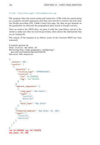
The output of the program is as follows (some of the returned JSON has been removed):
$ python3 geojson.py
Enter location: Ann Arbor, MI
Retrieving http://maps.googleapis.com/maps/api/
geocode/json?address=Ann+Arbor%2C+MI Retrieved 1669 characters
{
"status": "OK",
"results": [
{
"geometry": {
"location_type": "APPROXIMATE", "location": {
"lat": 42.2808256,
"lng": -83.7430378 }
}, "address_components": [
{
"long_name": "Ann Arbor", "types": [
"locality",
"political"
],
"short_name": "Ann Arbor" }
],
"formatted_address": "Ann Arbor, MI, USA", "types": [
"locality",
"political"
]
}
]
}
lat 42.2808256 lng -83.7430378 Ann Arbor, MI, USA
