
Page 34 - Black Range Naturalist, April 2020
P. 34
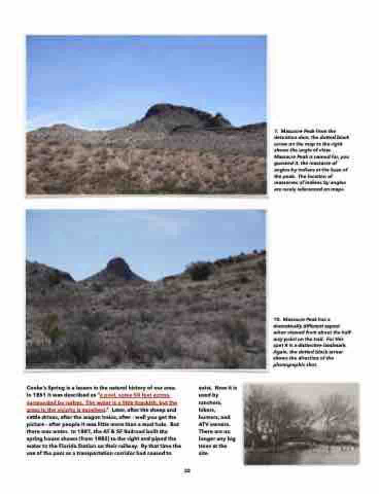
  1. Massacre Peak from the detention dam, the dotted black arrow on the map to the right shows the angle of view. Massacre Peak is named for, you guessed it, the massacre of anglos by indians at the base of the peak. The location of massacres of indians by anglos are rarely referenced on maps.
 10. Massacre Peak has a dramatically different aspect when viewed from about the half- way point on the trail. For this spot it is a distinctive landmark. Again, the dotted black arrow shows the direction of the photographic shot.
 Cooke’s Spring is a lesson in the natural history of our area. In 1851 it was described as “a pool, some 50 feet across, surrounded by rushes. The water is a little brackish, but the grass in the vicinity is excellent.” Later, after the sheep and cattle drives, after the wagon trains, after - well you get the picture - after people it was little more than a mud hole. But there was water. In 1881, the AT & SF Railroad built the spring house shown (from 1882) to the right and piped the water to the Florida Station on their railway. By that time the use of the pass as a transportation corridor had ceased to
exist. Now it is used by ranchers, hikers, hunters, and ATV owners. There are no longer any big trees at the site.
   32
