
Page 60 - Ranger Demo
P. 60
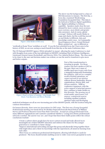
Figure 1 John Kedar at DGI 2019
The above was the background to 3 days of DGI discussions in January. The first day, a focus day, examined ‘Modernising Foundation Geospatial Data’. This data is the bedrock of Defence digital capabilities, the ‘digital scaffolding’ to Defence capability. Speakers made clear the user demand for more content, more accuracy, more currency, more detail, and greater data assurance. And of course, global coverage! Defence still mostly thinks in maps and charts, but the world has moved on and thinks in different, data and knowledge-centric ways. As Commander Royal Engineers (Geo), Colonel Richard Blunt, pointed out – geo is different as
‘weekends at home’ from ‘weekdays at work’. It was the best-attended focus day I have seen in the history of DGI; we are now seeing as much benefit from this day as the main Conference days.
The US National GEOINT Agency (NGA) attended ‘en masse’, allowing the main Conference to start with thoughts from some of the top individuals in GEOINT, including Chief of Defence Intelligence, Lieutenant General James Hockenhull, and Director NGA, Vice Admiral Robert Sharp. The clear need to be closer to the user and decision-maker was evident, as was the need to transform to give more and better outputs.
Part of this transformation is investing in people. For those readers who have spoken at DGI in the past, there was a mass of middle-aged men in grey suits from a mapping background dominating the audience. And yet in a complex world of hybrid operations, we cannot succeed in our mission without diverse leadership, diverse organisations, diverse data, and diverse analytics. WBR as conference organisers, with the active support of principal sponsor Esri, continue to make strides on this diversity. The growing use of social media, open-source, IoT sensors, commercial sources including smallsat synthetic aperture radar and developing
analytical techniques are all an ever-increasing part of the GEOINT puzzle, with the location being the common denominator.
On human diversity, there were two innovations for DGI 2020. The first was a Young Geospatial Professionals meeting over lunch led by Dr Heather Papworth from the Royal School of Military Survey and Professor Bacastow from Penn State University. Around 30 young professionals from many different organisations and countries considered whether a “young/new/future professionals” network is needed. The answer was ‘yes’, and I hope that these three bullet points reflect the critical conclusions reached:
•Create a culture where people have far more context around and tasks allowed more meaningful use of their GEOINT education and embrace the chance for the younger generation to contribute to faster change.
•Improve international networking amongst this group and physically bring together those with bright ideas and a thirst for knowledge with the experienced, all aimed at learning from each other.
•More focus on continuous professional development, allowing individuals to ‘push for greatness’. The focus should include enabling access to wider cross-sector geospatial in work.
Figure 2 Panel on future of training: John Knight, Paul Hurst, Tom Bacastow and Steven Fleming
58
