
Page 29 - UGU Dstrct Mun IDP Report '21-22
P. 29
Chapter 3: Situational Analysis
The Situational Analysis chapter provides a more concise snapshot of the key elements of the Status Quo. The information presented is a combination of desktop analysis; comprehensive community engagement workshops; 2011 census and 2016 community survey by Statistics South Africa; as well as from targeted interviews and discussions.
3.1 Cross Cutting Interventions
The Spatial Development Framework which informs the major part of this section forms an integral part of the IDP. It identifies what physical / spatial development should take place and where and provides the physical location and spatial interrelationship of social, economic, environmental development. It provides guidance for all future development in Ugu. The Framework does not identify every detail but establishes the strategic development direction. Furthermore, this analysis is also informed by the DGDS document.
3.1.1 Regional Context
Ugu District is a notable service centre within the south of KwaZulu-Natal and the northern part of the Eastern Cape Province. It provides highly competitive tertiary services within these regional parts of both provinces, such services mainly include commercial, retail and tourism. The district also attracts a number of people for public services including medical care given the amount of public and private health care facilities.
3.1.2 Administrative Entities
The municipality is bordered in the north by eThekwini Municipality, in the West by UMgungundlovu and Harry Gwala District Municipalities and on the Southern side shares its borders with the Eastern Cape Province. The municipality is accessed via N2 and the R102 from eThekwini on the north. The N2 is an important access point as it stretches throughout the district and provides regional access to Eastern Cape on the western border where it interfaces with Harry Gwala District Municipality. R61 (National Road) links the district with the Eastern Cape on the South where it interfaces with Alfred Nzo District Municipality whilst the R102 links the district with uMgungundlovu to the west. It is located on the southern part of KwaZulu-Natal province with a number of strategic features that embraces this location such as the following:
u It is highly accessible by the N2 and R61 which connects the area with a number of towns within KwaZulu-Natal as well as Eastern Cape and beyond;
u It is situated within a highly admired coastal strip which is affectionately known referred to as the South Coast by the tourists, residents and general travellers;
u It shares borders with eThekwini Municipality which is the economic powerhouse of KwaZulu-Natal and a very notable economic point within the country; and
u It accommodates the first coastal commercial hubs from Eastern Cape to KwaZulu-Natal. 3.1.3 Existing Nodes and Corridors
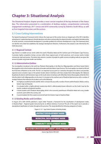
In August 2015, KZN COGTA published a report titled “Towards a framework for the classification of development nodes in KwaZulu-Natal – Regional spatial restructuring for an efficient delivery of services” The aim of the report was to provide a standardised classification of nodes throughout the province. The study identified the following categories of nodes:
Figure 3.1.3.1: Ugu District System of Activity Nodes
DISTRICT DEVELOPMENT NODE
MUNICIPAL DEVELOPMENT NODE
COMMUNITY DEVELOPMENT NODE
NEIGHBOURHOOD/SETTLEMENT DEVELOPMENT NODE
Source: Ugu District SDF, 2021
IDP REVIEW 27
