
Page 108 - Manual for Activities directed at the Underwater Cultural Heritage
P. 108
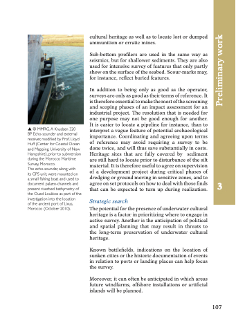
© MMRG. A Knudsen 320 BP Echo-sounder and external receiver, modified by Prof. Lloyd Huff (Center for Coastal Ocean and Mapping, University of New Hampshire), prior to submersion during the Morocco Maritime Survey, Morocco.
The echo-sounder, along with
its GPS unit, were mounted on
a small fishing boat and used to document palaeo-channels and present riverbed bathymetry of the Oued Loukkos as part of the investigation into the location
of the ancient port of Lixus, Morocco (October 2010).
cultural heritage as well as to locate lost or dumped ammunition or erratic mines.
Sub-bottom profilers are used in the same way as seismics, but for shallower sediments. They are also used for intensive survey of features that only partly show on the surface of the seabed. Scour-marks may, for instance, reflect buried features.
In addition to being only as good as the operator, surveys are only as good as their terms of reference. It is therefore essential to make the most of the screening and scoping phases of an impact assessment for an industrial project. The resolution that is needed for one purpose may not be good enough for another. It is easier to locate a pipeline for instance, than to interpret a vague feature of potential archaeological importance. Coordinating and agreeing upon terms of reference may avoid requiring a survey to be done twice, and will thus save substantially in costs. Heritage sites that are fully covered by sediment are still hard to locate prior to disturbance of the silt material. It is therefore useful to agree on supervision of a development project during critical phases of dredging or ground moving in sensitive zones, and to agree on set protocols on how to deal with those finds that can be expected to turn up during realization.
Strategic search
The potential for the presence of underwater cultural heritage is a factor in prioritizing where to engage in active survey. Another is the anticipation of political and spatial planning that may result in threats to the long-term preservation of underwater cultural heritage.
Known battlefields, indications on the location of sunken cities or the historic documentation of events in relation to ports or landing places can help focus the survey.
Moreover, it can often be anticipated in which areas future windfarms, offshore installations or artificial islands will be planned.
107
3
Preliminary work
