
Page 18 - HC Relocation Guide 2022
P. 18
By Dave Stalling
A powerful, violent natural history might be the best way to describe Montana’s Elkhorn Mountains. Although not piercing the skyline like the summits of many other ranges in the state, their presence
is prominent, especially from Helena, Boulder, Townsend, and Three Forks. They cover about 300,000 acres, all within the Helena National Forest.
About 80 million years ago, during the Late Cretaceous Period, the range consisted of active volcanoes whose groundwater, heated by rising magma, would frequently burst from the ground, spewing sulfur dioxide and ash for miles. The volcanoes eventually exploded in at several massive eruptions, leading to volcanic glass and soot raining everywhere. Extensive lava flows and fountains
and the launching of marble-sized volcanic cinders bombarded the highlands and ignited wildfires. Several volcanoes collapsed, sending waves of superheated wave ash, rock and gas across the landscape, burying dinosaurs whose remains are still occasionally uncovered. There is evidence of this ash as far away as the Rocky Mountain Front, west of Choteau, where a dinosaur rookery was discovered.
According to geologists, the Elkhorn eruptions were more significant than Mount Saint Helens and probably as potent as the enormous 1883 Krakatoa eruption in Indonesia.
Today, much of the Elkhorns are rounded and furrowed from extensive weathering, showing steep gulches, canyons carved by glaciers, and dramatic “hogback” ridges with dry valleys in between. Granitic boulders, scattered throughout the range, were deposited by retreating glaciers. Crow Peak, at 9,414 feet, and Elkhorn Peak, 9,381 feet, are the highest pinnacles.
Hiking, backpacking, horseback riding, camping, hunting, fishing, mountain biking, snowshoeing, and skiing are all popular pursuits.
About 100,000 acres of these mountains remain undeveloped and roadless, including 85,000 acres of National Forest land and adjacent BLM, state, and private grounds allowing for wilderness-like recreation.
Abundant moisture sustains a unique mix of habitats that supports a diversity of wildlife, including elk, mule deer, whitetail deer, black bears, mountain lions, and bighorn sheep. In 1986, the U.S. Congress designated 175,000 acres of the range as the “Elkhorns Wildlife Management Area,” the first of its kind in the nation.
A 1988 forest fire burned 47,000 acres of the Elkhorns, leaving carpets of small lodgepole saplings throughout the range and larges stands of aspen trees that come in after fires. This fire on the land has helped diversify the wildlife habitat.
Wildlife and terrain in the area are managed as the Elkhorn Cooperative Management Area. Different federal agencies, including the U.S. Forest Service, Bureau of Land Management, and the Montana Department of Fish, Wildlife and Parks work together
to manage the mountain range regardless
of political boundaries. The lead in this
effort, the Elkhorns Working Group, makes recommendations and guides the area’s multiple uses, including livestock grazing, logging, and recreation. Some of their recent efforts included reintroducing bighorn sheep and the restoration of westlope cutthroat trout populations.
ELKHORNS FROM WINSTON
Its geologic history left the Elkhorns rich in minerals, particularly silver. In the late 1870s, mining began, and mining camps were established. The now small, mostly abandoned town of Elkhorn remains as a reminder of once livelier days.
Dave Stalling is a University of Montana graduate student in the Creative Writing Program
CROW CREEK FALLS
SOUTHWEST MONTANA’S ELKHORN MOUNTAINS
18
HELENAAREACHAMBEROFCOMMERCE | OFFICIALRELOCATIONGUIDE | 2022
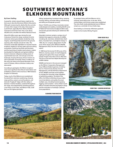
CROW PEAK - ELKHORN MOUNTAINS
