
Page 2 - Walks In The Black Range
P. 2
Walks in the Black Range
In the southwest of the United States a trail is a way of getting from one point to another, it is not necessarily a path, a road, a track... it is a way. It may be a formal trail, it may be a ridgeline, it may be a wash, it may be an old road, it may be a line of sight. Some version of all of these trail types are found in this edition.
This is a project of the Black Range Website, www.blackrange.org. The website, its magazine, The Black Range Naturalist, and Flora of the Black Range are all intended to be community efforts. If you would like to provide a trail write-up for a future edition please do so - contact Bob Barnes at rabarnes@blackrange.org.
This is electronic media, it is not available in hard copy, you can not buy it. It is free. If you have a copy, please forward it to anyone who might like to have it. The Black Range website does not accept advertisements nor does it accept monetary donations. It is “not-for-revenue”. It is about sharing knowledge. This publication is available as a .pdf on the Black Range Website or in magazine format at our bookcase.
This publication is offered to you under a Creative Commons non-commercial license, you are free to use it for whatever non-commercial use you wish. Copyright will be aggressively enforced and penalties exercised in the case of any unauthorized commercial use.
All descriptions of trails are accurate as of the time they are written. But the Black Range is a rugged place and changes to the trails can happen quickly. Therefore, when you walk one of these trails it may not be like the one described here.
As noted above, the Black Range is a rugged place, it is a place where you can get hurt and it can be a long time (most trail distances are not long in the Black Range - but it can take a while to get from “A” to “B”) before you get help, so be careful. The Black Range has its share of potentially dangerous critters, other than an occasional snake bite, I have never heard of that potentiality being realized - be warned, but most of all be happy.
Recognition should be given to the Southern New Mexico Explorer blog of Devon Fletcher, which is not affiliated with the Black Range Website or its projects. His blog is the best source of information on the trails of Southern New Mexico.
References are made to geologic formations in some of the trail descriptions for routes east of Hillsboro. A key to the formation abbreviations are found at the end of this book.
Unattributed work is by Bob Barnes. The Trails
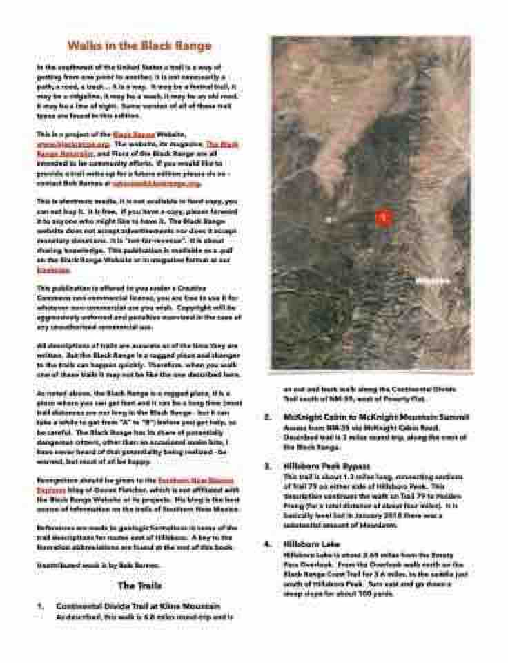
1. Continental Divide Trail at Kline Mountain
As described, this walk is 6.8 miles round-trip and is
1
an out and back walk along the Continental Divide Trail south of NM-59, west of Poverty Flat.
2. McKnight Cabin to McKnight Mountain Summit
Access from NM-35 via McKnight Cabin Road. Described trail is 2 miles round-trip, along the crest of the Black Range.
3. Hillsboro Peak Bypass
This trail is about 1.3 miles long, connecting sections of Trail 79 on either side of Hillsboro Peak. This description continues the walk on Trail 79 to Holden Prong (for a total distance of about four miles). It is basically level but in January 2018 there was a substantial amount of blowdown.
4. Hillsboro Lake
Hillsboro Lake is about 3.65 miles from the Emory Pass Overlook. From the Overlook walk north on the Black Range Crest Trail for 3.6 miles, to the saddle just south of Hillsboro Peak. Turn east and go down a steep slope for about 100 yards.
Winston
