
Page 6 - Walks In The Black Range
P. 6
34. Empire Peak Trail
From Bigelow Mine to the saddle and Empire Peak above.
35. Garfield-Butler Mine Trail
A walk of 2.9 miles from the Hillsboro Transfer Station to the mine entrance.
36. Mesa Walk South of Hillsboro
This is a cross-country amble of 6.1 miles on the mesa south of Hillsboro.
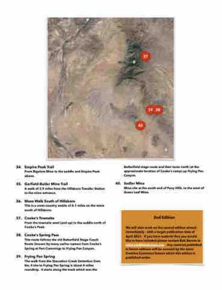
37. Cooke’s Townsite
From the townsite west (and up) to the saddle north of Cooke’s Peak.
38. Cooke’s Spring Pass
This route follows the old Butterfield Stage Coach Route (known by many earlier names) from Cooke’s Spring at Fort Cummings to Frying Pan Canyon.
39. Frying Pan Spring
The walk from the Starvation Creek Detention Dam No. 4 site to Frying Pan Spring is about 4 miles roundtrip. It starts along the track which was the
40.
37
39 38 40
Butterfield stage route and then turns north (at the approximate location of Cooke’s camp) up Frying Pan Canyon.
Sadler Mine
Mine site at the south end of Pony Hills, to the west of Green Leaf Mine.
2nd Edition
We will start work on the second edition almost immediately - with a target publication date of April 2021. If you have material that you would like to have included please contact Bob Barnes at rabarnes@blackrange.org. Any material published in future editions will be covered by the same Creative Commons license which this edition is published under.
