
Page 27 - Vol 2 Walks In The Black Range Eastern Foothills South
P. 27
After two miles or so the “trail” climbs up a slope and returns to the starting point on an old mining road.
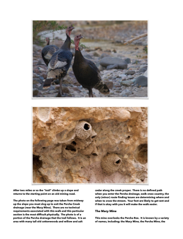
The photo on the following page was taken from midway up the slope you must slog up to exit the Percha Creek drainage (near the Macy Mine). There are no technical requirements associated with this walk and this particular section is the most difficult physically. The photo is of a portion of the Percha drainage that the trail follows. It is an area with many tall old cottonwoods and willow and salt
cedar along the creek proper. There is no defined path when you enter the Percha drainage, walk cross country, the only (minor) route finding issues are determining where and when to cross the stream. Your feet are likely to get wet and if that is okay with you it will make the walk easier.
The Macy Mine
This mine overlooks the Percha Box. It is known by a variety of names, including; the Macy Mine, the Percha Mine, the
