
Page 173 - Kennemerland VOC ship, 1664 - Published Reports
P. 173
Norman’s Bay Wreck: Archaeological Report Wessex Archaeology 53111.03nn
3. EXISTING SITE DATA 3.1. SITE POSITION
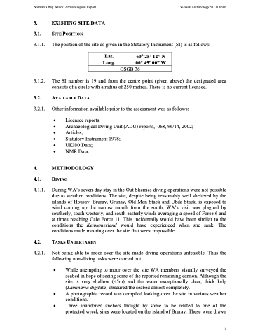
3.1.1. The position of the site as given in the Statutory Instrument (SI) is as follows:
3.1.2. The SI number is 19 and from the centre point (given above) the designated area consists of a circle with a radius of 250 metres. There is no current licensee.
3.2. AVAILABLE DATA
3.2.1. Other information available prior to the assessment was as follows:
• Licensee reports;
• Archaeological Diving Unit (ADU) reports, 068, 96/14, 2002;
• Articles;
• Statutory Instrument 1978;
• UKHO Data;
• NMR Data.
4. METHODOLOGY
4.1. DIVING
4.1.1. During WA’s seven-day stay in the Out Skerries diving operations were not possible due to weather conditions. The site, despite being reasonably well sheltered by the islands of Housay, Bruray, Grunay, Old Man Stack and Ubda Stack, is exposed to wind coming up the narrow mouth from the south. WA’s visit was plagued by southerly, south westerly, and south easterly winds averaging a speed of Force 6 and at times reaching Gale Force 11. This incidentally would have been similar to the conditions the Kennemerland would have experienced when she sank. The conditions made mooring over the site that week impossible.
4.2. TASKS UNDERTAKEN
4.2.1. Not being able to moor over the site made diving operations unfeasible. Thus the following non-diving tasks were carried out:
• While attempting to moor over the site WA members visually surveyed the seabed in hope of seeing some of the reported remaining cannon. Although the site is very shallow (<5m) and the water exceptionally clear, thick kelp (Laminaria digitata) obscured the seabed almost completely.
• A photographic record was compiled looking over the site in various weather conditions.
• Three abandoned anchors thought by some to be related to one of the protected wreck sites were located on the island of Bruray. These were drawn
Lat.
60° 25’ 12” N
Long.
00° 45’ 00” W
OSGB 36
2
