
Page 178 - Kennemerland VOC ship, 1664 - Published Reports
P. 178
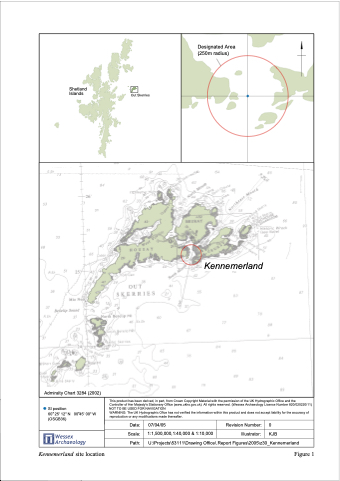
       Shetland Islands
Out Skerries
Designated Area (250m radius)
         Date:
Scale:
Path:
Kennemerland
 Admiralty Chart 3284 (2002)
 SI position
60 25' 12" N 00 45' 00" W (OSGB36)
This product has been derived, in part, from Crown Copyright Material with the permission of the UK Hydrographic Office and the
Controller of Her Majesty's Stationary Office (www.ukho.gov.uk) All rights reserved. (Wessex Archaeology Licence Number 820/020220/11) NOT TO BE USED FOR NAVIGATION
WARNING: The UK Hydrographic Ofice has not verified the information within this product and does not accept liability for the accuracy of reproduction or any modifications made thereafter.
 07/04/05 Revision Number: 0
 Wessex Archaeology
1:1,500,000,1:40,000 & 1:10,000 Illustrator: KJB
U:\Projects\53111\Drawing Office\.Report Figures\2005\z30_Kennemerland
              Kennemerland site location Figure 1
