
Page 251 - AWSAR_1.0
P. 251
High Spatial Resolution Data for Mapping High-Altitude Glacial Lakes
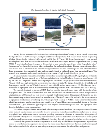
Explaining the reason behind the Kedarnath disaster
A study focused on this issue led by this author under the guidance of Prof. Manoj K. Arora, Punjab Engineering College (Deemed to be University), Chandigarh and IIT Roorkee (on lien); Prof. Sanjeev Sofat, Punjab Engineering College (Deemed to be University), Chandigarh and Dr Reet K. Tiwari, IIT Ropar, has developed a new method to map glacial lakes from HSR data of Resourcesat-2 satellite of Indian Space Research Organisation (ISRO) using OBIA. A new index has been developed in this method to map particular type of lakes called “supraglacial lakes.” Supra means “on the surface”-so these lakes are found on the surface of the glacier. The new index utilizes ancillary data as well such as temperature and slope to distinguish between shadows and supraglacial lakes. Shadows exhibit lower temperature than supraglacial lakes and are usually found at higher elevation than supraglacial lakes. This research is an innovative and a novel contribution in the context of high altitude Himalayan glaciers.
As a case study, the research team tested the new method to map supraglacial lakes of Gangotri glacier in the state of Uttarakhand. Gangotri glacier is one of the longest glaciers in the Indian Himalayas. It covers an area of around 143 sq. km. and has a length of ~ 30 km. The Gangotri glacier contributes a major portion of the freshwater to the river Ganges, which has a high sentimental and economic importance in India. The Ganges along with the rivers Indus and Brahamputra provide close to 50% of the country’s total utilizable surface water resources [2]. The Gangotri glacier has a series of supraglacial lakes in its ablation zone (low altitude glacier area with a netloss in ice mass due to melting).
The method developed by the use of HSR data has provided large-scale maps (maps with fine details) of the supraglacial lakes. The results of this method have been validated with the reference dataset created using on-screen digitization and a 90% match has been observed through visual interpretation. The accuracy of the results has also been assessedusing statistical measures such as overall accuracy. The significance of this method is that it can map even a supraglacial pond as small as 0.0001 sq. km. with a high overall accuracy of 94.83%. This is important because the glacial lake outbursts usually occur from some specific type of glacial lakes which are popularly known as “moraine dammed lakes.” Quite often these types of glacial lakes originate from the supraglacial lakes. The supraglacial lakes form in the hollows on the glacier surface.
The authors compared the new method with other existing traditional methods. The comparison showed that the other methods require manual corrections for shadows whereas the method developed in this study, is able to extract supraglacial lakes without any manual correction providing a substantial advantage to this method. Comparison of this study with other published noteworthy studies shows that, previous studies have used the medium to coarse spatial resolution satellite data to map supraglacial lakes and, therefore, the small supraglacial ponds have not been mapped.
This study has great socio-economic importance as it will help stakeholders such as government organizations related to natural disaster management, etc, to make the masses aware of potential threats that may arise from the glacial lake outbursts and will also help them make adequate arrangements to ensure the safety of lives and property.
229
