
Page 6 - 4WD Australia 50 Short Getaways
P. 6
64
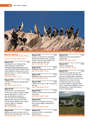
a a a a a a a a a a a a a a colony of black‐faced cormorants (Phalacrocorax fuscescens) as as seen from the the the Bruny Bruny island
island
Charter trip along the the the southern ocean coastline south south Bruny Bruny island
island
The west coast of Bruny island
is is mainly rural pasture 4wd Touring Tasmania
rOuTe nOTeS see map page 61 *Indicates a a a a a waypoint already visited Waypoint b05 8 km Junction turn sharp left on
on
Coolangatta
rd Bruny island
state Forest no towing 40 km/h one‐lane road moderate ruts potholes steep with tight turns S43° 21' 13" e147° 18' 45"
S43° 21' 41" 41" e147° 17' 41" 41" S43° 21' 23" e147° 17' 11"
with loop S43° 22' 06" e147° 16' 31"
return walk S43° 22' 25" e147° 15' 56"
Waypoint b10
Waypoint b12
staffords rd rd forest track described at waypoint B03 S43° 25' 40" e147° 14' 57"
Waypoint b13
pines Cg pit toilets only S43° 26' 15" e147° 14' 50"
short track to beach on
left reduce tyre pressure and engage 4wd drive below high‐tide line for 2 9 km turn left at rocks Cloudy Bay Cg pit toilets only drive on
on
beach at low tide only no towing pay careful attention to washouts above beach Contact parks & wildlife for current information
(ph: 03 6293 1419) return north on
Cloudy Bay rd Waypoint b01
0 km 23 km 25 km 25 km south Bruny np
np
display np
np
pass Take
set odometer to zero adventure Bay holiday Village
(ph: 03 6293 1270 www adventurebayholidayvillage com au) a a superb base from which to explore Bruny island
Bushwalk to grass point one and and a a a a a half hours return or circuit to Fluted Cape three hours return S43° 21' 21' 52" e147° 21' 21' 18"
two lanes S43° 22' 02" e147° 20' 16"
Waypoint b03
Waypoint b06
10
km mt mangara lookout and car park on
left Waypoint b14
2 km Turn left on
lockleys rd unsealed gravel Waypoint b08
Waypoint b07
11 km mt mangara walk on
left 1 5
hours return Waypoint b02
13 km lookout and car park on
right narrow
track sharp right turn onto resolution rd if road is open option to continue straight ignoring side tracks for 12
2 2 km Turn right on
on
staffords rd rd continue for for 7 km then turn left on
Cloudy Bay rd (waypoint B12) one‐lane forest tracks that may require 4wd when wet Contact Forestry Tasmania
in geeveston
(ph: 03 6297 0012) S43° 22' 48" e147° 19' 24" resolution rd 30‐minute return forest walk S43° 22' 38" e147° 19' 21"
Waypoint b09
Waypoint b04
Waypoint b11 Junction turn left on
on
Cloudy Bay rd gravel two‐lane S43° 22' 29" e147° 14' 36"
4
5
km mavista walk and picnic shelter to left on
17 km 4
km 15 km Clennetts ‘Top mill’ site on
left 30‐minute sharp left to Clennetts link rd forest track continue straight leading back to lockeys rd S43° 22' 25" e147° 15' 48" 15 km
