
Page 9 - 2018 AMA Summer
P. 9
VIEWRANGER SMART PHONE
NAVIGATION APP
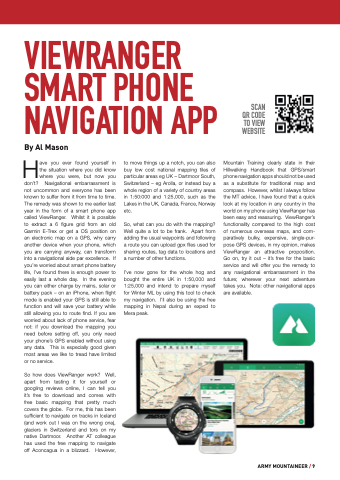
SCAN QR CODE TO VIEW WEBSITE
Mountain Training clearly state in their Hillwalking Handbook that GPS/smart phone navigation apps should not be used as a substitute for traditional map and compass. However, whilst I always follow the MT advice, I have found that a quick look at my location in any country in the world on my phone using ViewRanger has been easy and reassuring. ViewRanger’s functionality compared to the high cost of numerous overseas maps, and com- paratively bulky, expensive, single-pur- pose GPS devices, in my opinion, makes ViewRanger an attractive proposition. Go on, try it out – it’s free for the basic service and will offer you the remedy to any navigational embarrassment in the future; wherever your next adventure takes you. Note: other navigational apps are available.
By Al Mason
Have you ever found yourself in the situation where you did know where you were, but now you
don’t? Navigational embarrassment is not uncommon and everyone has been known to suffer from it from time to time. The remedy was shown to me earlier last year in the form of a smart phone app called ViewRanger. Whilst it is possible to extract a 6 figure grid from an old Garmin E-Trex or get a OS position on an electronic map on a GPS, why carry another device when your phone, which you are carrying anyway, can transform into a navigational aide par excellence. If you’re worried about smart phone battery life, I’ve found there is enough power to easily last a whole day. In the evening you can either charge by mains, solar or battery pack – on an iPhone, when flight mode is enabled your GPS is still able to function and will save your battery while still allowing you to route find. If you are worried about lack of phone service, fear not: if you download the mapping you need before setting off, you only need your phone’s GPS enabled without using any data. This is especially good given most areas we like to tread have limited or no service.
So how does ViewRanger work? Well, apart from testing it for yourself or googling reviews online, I can tell you it’s free to download and comes with free basic mapping that pretty much covers the globe. For me, this has been sufficient to navigate on tracks in Iceland (and work out I was on the wrong one), glaciers in Switzerland and tors on my native Dartmoor. Another AT colleague has used the free mapping to navigate off Aconcagua in a blizzard. However,
to move things up a notch, you can also buy low cost national mapping tiles of particular areas eg UK – Dartmoor South, Switzerland – eg Arolla, or instead buy a whole region of a variety of country areas in 1:50:000 and 1:25,000, such as the Lakes in the UK, Canada, France, Norway etc.
So, what can you do with the mapping? Well quite a lot to be frank. Apart from adding the usual waypoints and following a route you can upload gpx files used for sharing routes, tag data to locations and a number of other functions.
I’ve now gone for the whole hog and bought the entire UK in 1:50,000 and 1:25,000 and intend to prepare myself for Winter ML by using this tool to check my navigation. I’ll also be using the free mapping in Nepal during an exped to Mera peak.
ARMY MOUNTAINEER / 9
