
Page 22 - 2001 AMA Summer
P. 22
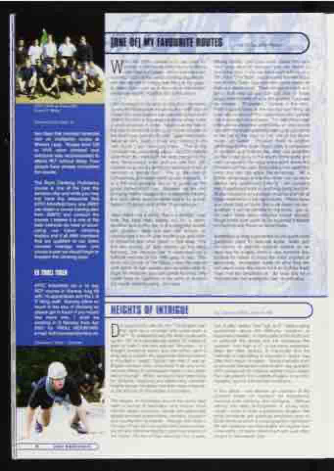
ATFC STAFF at Three Cliffs. GowerS Wales.
Continued from page 19
two days that involved torrential rain on multipitch routes at Winters Leap. Routes from Diff to HVS were climbed and everyone was recommended to attend RLT without delay. Four people have already completed the course.
The Rock Climbing Proficiency course is one of the best the services offer and while you may not have the resources that ATFC Arborfield have, any JSRCI can obtain a course training plan from JSMTC and conduct the course. I believe it is one of the best methods we have of devel oping our future climbing leaders and if all AMA members that are qualified to run these courses manage even one course a year we should begin to broaden the climbing base.
EXTROLTIGER
ATFC Arborfield ran a 10 day RCP course in Noway Aug 00 with 10 apprentices and the L & IT Wing staff. Norway offers so much in the way of climbing so please get in touch if you would like more info. I shall be working in S Norway from Apr 2001 for TROLL MOUNTAIN: e-mail: troll.mountain@online.no.
Sllberwand 'Slabs' - Setesdal.
w;Ihen the Editor uttered a cri de coeur for I articles on the theme of My Favourite Route I felt I had a problem When one has been roaming much of the world climbing mountains - with the odd bit of military duty filling in the gaps - to select one route as a favourite is impossible,
hence the slightly modified title of this article.
I am pnvileged to be able to look from my home across the Mawddach Estuary to the north face of Cader Idris and despite the peak being less than 3000 ft the face is impressively alpine when it has a good covering of snow Nestling at the foot of the face is the small loch Uyn y Gadair or Lake of the Seat if you want the English. Cader Idris trans lating as Idns' Seat or Chair and nothing to do with bums I will have you know. This is my mountain we are talking about. Go 200 meters west from the centre of the west margin of the lake, ferret about a bit and you will find CA' marked on a rock by someone tapping at it with a hammer or similar tool. This is the start of CyfrwyArete, a modest climb by any standard. It is a Diff and probably 'low in its grade' as the guide books might say. However we are into climbing history because this is allegedly the very first rock climb done in North Wales by a man called 0 G Jones back in the 18 somethings.
Man, that's not a climb, that's a doddle' I can hear the hard men saying but on a warm, windless and sunny day it is a delightful doddle with glorious views out over the estuary or, coming right a touch, over the Rhinogs and north to Snowdon and other peaks in that area. The first two pitches go fairly steeply up the ridge following ‘the obvious line of weakness’ as a baronet member of the AMA used to say. This lands you on top of The Table, a near flat area of rock some 15 feet square, and an idyllic spot to linger for whatever purpose comes to mind. We locals have no objection to the wine or women but would object to song - too noisy.
HEIGHTSUFINTRIGUE
Did anyone ever see the film “The English-man that went up a mountain and came down a hill?" To understand why the welsh locals went
up the "hill" and painstakingly added 20 metres of earth to make it into their beloved “Mountain “ is a thought provoking action and one which went a long way to explain the passionate feelings behind a mountain's height! Typical then that it was an English surveyor who announced it as only a hill, narrowly failing it's prerequisite height to be classi fied a mountain. British surveyors have been busy for centuries exploring and determining mountain heights across the globe, how then does controver sy still abound on the heights of mountains...?
The heights of mountains around the world have been a source of fascination and intrigue since records began provoking intense and passionate debate amongst governments, climbers, surveyors and countrymen worldwide. Strange then that in this day of high tech computers and space probes, we still lack definitive heights in particular regions of the Globe. For the climber returning from a peak,
Having dallied, gird your loins, check the rope (and your second) because you are about to tackle the 'crux' if you can have such a thing on a Diff. From “The Table" you descend ten feet into a sort of mini Tower Gap and then climb about 40 feet up a steep nose There are good holds and about half way up you can put one of those wiggly bits of metal on wire into a crack if you are so minded 'Protection I believe is the term From a good belay at the top you can bring up your second and coil the rope unless your partner has an aversion to exposure. The rest of the ridge offers some delightful scrambling on very sound rock with the angle gradually easing as you come to the top of the ridge to join one of the tourist routes up Cader However there is another advantage to this route If your party is composed of climbers and walkers the latter can scramble up the broad gully to the south of the arete and then cut up onto the ridge at the point where the climbers coil the rope. By so doing they avoid the climb but can still enjoy the scramble. Yet a further advantage is that the climb can be done without any preliminary training - no pumping iron, fingerboard work or anything nasty like that. All you require is very average muscles and not all these need to be in the right places. Please leave your chalk bag at home: the route needs no des ecration. It can be climbed in big boots'; you do not need those fancy coloured carpet slippery things which now seem to be essential footwear on the Ordinary Route on Idwal Slabs.
Baedecker (a long superseded tourist guide book publisher) used to describe some walks and excursions' to use the Victorian phrase as ‘an easy day for a lady' when it was deemed only suitable for ladies to enjoy the most modest of excursions. Nowadays ladies do what they like and seem none the worse for it so Cyfrwy Arete must now be described as ' an easy day for a mountaineer' but a delightful day nevertheless.
by Captain Mick Jenkins RE
one is often asked “how high is it?” before being questioned about the difficulty, duration or equipment needed. In many parts of the world and in particular the Andes and the Himalayas the question “how high is it?” is not easily answered. Maps are often sketchy or inaccurate and the methods of calculating a mountain’s height may differ from region to region. Some methods such as accurate triangulation and modern day geodetic GPS surveys are for instance slightly more reliable than calculations from satellite imagery or air pho tography, but not without their limitations.
In this article I will attempt an overview of the problem based on research for expeditions involving both climbing and surveying. Without delving into deep technicalities of survey tech niques I hope to show a perplexing situation that exists worldwide with particular emphasis given to South America which is a topographers nightmare! We will hopefully see that heights are argued over vehemently, not easily determined and quite often subject to nationalistic bias!
>BMT MOUNTHIHHR )
(ONEOF]MYFAVOURITEROUTES by Lt Col John Muston
