
Page 15 - NYS_ESS_05-2025
P. 15
Friday Webinar Series
Join us on a Friday of every month as we present lectures on a variety
of business, project management and surveying subjects. All from the
convenience of your office! And most courses have been approved for
NY CE credit! Register on our website, www.nysapls.org.
Featured June Program…
Reaching New Heights: Considerations for Working in a
Modernized NSRS
Presented by Daniel J. Martin
June 6, 2025
Registration Fees: $75 members, $99 non-members
1.0 NY CE hour for LS/PE (pending)
When establishing heights for a project, how much thought is given
to the level of accuracy (either absolute or relative) needed to support
or accomplish the intended goals? Do we consider the various sources
of error that may accompany the tools and processes we use, hidden
like an army in a Trojan Horse? Or acknowledge as existing, but
generally ignored or considered to be insignificant? We will talk about
potential issues when using the Modernized NSRS, specifically the new
vertical datum, which has a definitional reliance on the use of GNSS,
and the desire or requirement to provide results in legacy datums.
By the end of this session participants will be able to:
1. Identify at least two challenges associated with supporting
projects that span the release date of the modernized datums.
2. List two types of projects that will require workflow analysis
prior to determining survey methods.
3. Estimate the aggregate accuracy of a planned elevation survey.
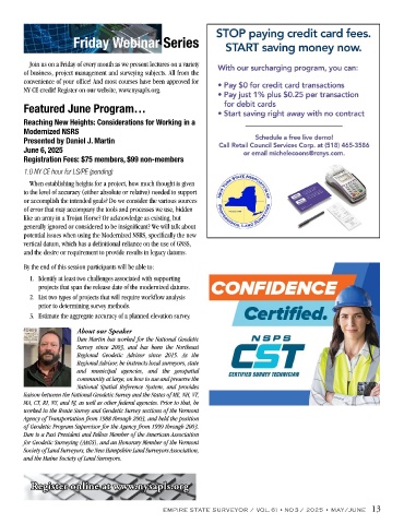
About our Speaker
Dan Martin has worked for the National Geodetic
Survey since 2003, and has been the Northeast
Regional Geodetic Advisor since 2015. As the
Regional Advisor, he instructs local surveyors, state
and municipal agencies, and the geospatial
community at large, on how to use and preserve the
National Spatial Reference System, and provides
liaison between the National Geodetic Survey and the States of ME, NH, VT,
MA, CT, RI, NY, and NJ, as well as other federal agencies. Prior to that, he
worked in the Route Survey and Geodetic Survey sections of the Vermont
Agency of Transportation from 1988 through 2003, and held the position
of Geodetic Program Supervisor for the Agency from 1999 through 2003.
Dan is a Past President and Fellow Member of the American Association
for Geodetic Surveying (AAGS), and an Honorary Member of the Vermont
Society of Land Surveyors, the New Hampshire Land Surveyors Association,
and the Maine Society of Land Surveyors.
egister online at www
.nysapls.org
Register online at www.nysapls.org
R
EMPIRE STATE SURVEYOR / VOL. 61 • NO 3 / 2025 • MAY/JUNE 13