
Page 223 - Python for Everybody
P. 223
16.2. VISUALIZING NETWORKS AND INTERCONNECTIONS 211
The geoload.py program can be stopped at any time, and there is a counter that you can use to limit the number of calls to the geocoding API for each run. Given that the where.data only has a few hundred data items, you should not run into the daily rate limit, but if you had more data it might take several runs over several days to get your database to have all of the geocoded data for your input.
Once you have some data loaded into geodata.sqlite, you can visualize the data using the geodump.py program. This program reads the database and writes the file where.js with the location, latitude, and longitude in the form of executable JavaScript code.
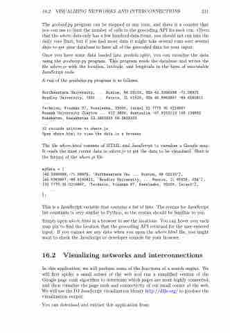
A run of the geodump.py program is as follows:
Northeastern University, ... Boston, MA 02115, USA 42.3396998 -71.08975 Bradley University, 1501 ... Peoria, IL 61625, USA 40.6963857 -89.6160811 ...
Technion, Viazman 87, Kesalsaba, 32000, Israel 32.7775 35.0216667
Monash University Clayton ... VIC 3800, Australia -37.9152113 145.134682 Kokshetau, Kazakhstan 53.2833333 69.3833333
...
12 records written to where.js
Open where.html to view the data in a browser
The file where.html consists of HTML and JavaScript to visualize a Google map. It reads the most recent data in where.js to get the data to be visualized. Here is the format of the where.js file:
myData = [
[42.3396998,-71.08975, 'Northeastern Uni ... Boston, MA 02115'], [40.6963857,-89.6160811, 'Bradley University, ... Peoria, IL 61625, USA'], [32.7775,35.0216667, 'Technion, Viazman 87, Kesalsaba, 32000, Israel'],
...
];
This is a JavaScript variable that contains a list of lists. The syntax for JavaScript list constants is very similar to Python, so the syntax should be familiar to you.
Simply open where.html in a browser to see the locations. You can hover over each map pin to find the location that the geocoding API returned for the user-entered input. If you cannot see any data when you open the where.html file, you might want to check the JavaScript or developer console for your browser.
16.2 Visualizing networks and interconnections
In this application, we will perform some of the functions of a search engine. We will first spider a small subset of the web and run a simplified version of the Google page rank algorithm to determine which pages are most highly connected, and then visualize the page rank and connectivity of our small corner of the web. We will use the D3 JavaScript visualization library http://d3js.org/ to produce the visualization output.
You can download and extract this application from:
