
Page 37 - D:\AA Warsash Association\Journals\2020\AH2020-1\DEK\
P. 37
All Hands 2020-1 (UK Spring) P a g e 35
Swire did not release the names of the abductees, and it asked the media to respect the privacy of the affect ed
crew members' families.
Kidnapping is an all-to-frequent problem for maritime operators in the Gulf of Guinea, the world capital of
maritime piracy. Historically, the epicentre of the problem was located off the coast of the Niger River Delta, an
area home to well-armed militants with a long history of oil theft and related crimes. This year, multiple hijackings
and kidnappings have also occurred to the west, off Togo and Benin, and to the southeast, off Cameroon and
Equatorial Guinea.
9.4 ECDIS and e-Navigation
(Extract from Seatimes March 2020 by kind permission of the Editor: David Whitaker.) ECDIS and e-navigation
have benefited ship managers Thome Group and ferry operator DFDS, while Ray Carriers is trialling new
technology. Courtesy of Riviera Maritime Media Ltd.
Ship e-navigation has completely changed bridge operations and opens shipping up to new technology
applications. Moving from paper to electronic navigation and adopting ECDIS has provided ship operators, owners
and managers with several operational benefits and new challenges.
There is less burden on crew to update electronic navigational charts (ENCs) with navigation information and
maritime notices as this can be automated in ECDIS. This requires two ECDIS on a bridge for redundancy, so
there is no need for paper charts.
E-navigation also allows weather information to
be used for passage planning and radar images
for voyage execution. ECDIS lets fleet managers
verify voyage plans and provide advice to bridge
teams on optimised routes for lowering fuel
consumption and ship emissions.
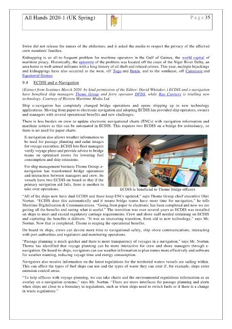
For ship management business Thome Group, e-
navigation has transformed bridge operations
and interaction between managers and crew. Its
vessels have two ECDIS on board so that if the
primary navigation aid fails, there is another to
take over operations. ECDIS is beneficial to Thome bridge officers
“All of the ships now have dual ECDIS and these keep ENCs updated,” says Thome Group chief executive Olav
Nortun. “ECDIS does this automatically and it means bridge teams have more time for navigation,” he tells
Maritime Digitalisation & Communications. “Going from paper to electronic has been completed and now we are
getting all the benefits and seeing what is useful.” The transition was over several years as ECDIS was installed
on ships to meet and exceed regulatory carriage requirements. Crew and shore staff needed retraining on ECDIS
and capturing the benefits it delivers. “It was an interesting transition, from old to new technology,” says Mr.
Nortun. Now that is completed, Thome is reaping the operational benefits.
On board its ships, crews can devote more time to navigational safety, ship-shore communications, interacting
with port authorities and regulators and monitoring operations.
“Passage planning is much quicker and there is more transparency of voyages in e-navigation,” says Mr. Nortun.
Thome has identified that voyage planning can be more interactive for crew and shore managers through e-
navigation. On board its ships, navigators can use weather information to plan routes more effectively and software
for weather routeing, reducing voyage time and energy consumption.
Navigators also receive information on the latest regulations for the territorial waters vessels are sailing within.
This can affect the types of fuel ships can use and the types of waste they can emit if, for example, ships enter
emission control areas.
“To help officers with voyage planning, we can take charts and the environmental regulations information as an
overlay on e-navigation systems,” says Mr. Nortun. “There are more interfaces for passage planning and alerts
when ships are close to a boundary in regulations, such as when ships need to switch fuels or if there is a change
in waste regulations.”