
Page 27 - Peterborough SuDS DESIGN & EVALUATION
P. 27
Local SuDS specific requirements Management Supplementary Planning
Document. This includes:
The principles of SuDS have been followed in
Peterborough for some time, however the ■ Consideration of Critical Drainage Areas,
combination of urban creep and climate Areas of Notable Drainage Interest and
change have put increasing pressure on the any points raised through the Strategic
existing drainage system. Equally the Flood Risk Assessment
polluted nature of runoff from the traditional ■ A reduced level of attenuation in some
drainage measures in our streets adds an areas of Fens by utilising spare capacity in Local SuDS requirements
extra strain on the water environment in the the IDB’s system may be possible through
rivers.
agreement, but water treatment stages
As the city of Peterborough and the will still be required
surrounding villages redevelop and expand it In addition, the Council's adopted planning
is important that SuDS continue to be policies encourages the enhancement of
incorporated to alleviate the pressure on our water quality and habitat within sites, this can
drainage systems and rivers. Slowing and be directly achieved through appropriately
cleaning the water creates a more resilient designed SuDS features. This policy
built and natural environment over time.
highlights that new landscaping is an integral
A number of the higher consequence part of development and that SuDS features
drainage areas are discussed in the should incorporate planting suitable for the
Peterborough’s surface water management location, alongside wildlife habitat creation.
documents. The overall approach is 22
described in the Flood and Water
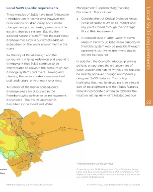
Peterborough Geology Map
Crown Copyright 1999. Reproduced from Ordnance Survey
Land-Line data with the permission of the controller of Her
Majesty’s Stationery Office. Ordnance Survey and Land-Line
are registered trademarks.
Peterborough City Council SuDS D & E Guide © 2018 McCloy Consulting & Robert Bray Associates