
Page 8 - Black Range Naturalist, Vol. 2, No. 4
P. 8
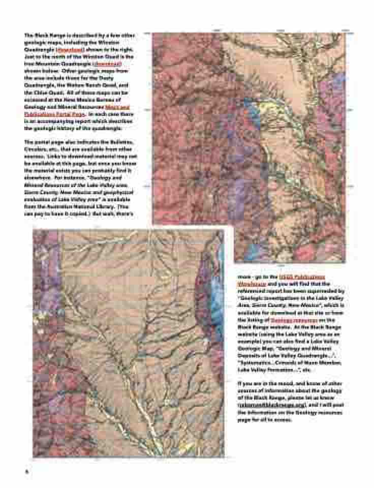
  The Black Range is described by a few other geologic maps, including the Winston Quadrangle (download) shown to the right. Just to the north of the Winston Quad is the Iron Mountain Quadrangle (download) shown below. Other geologic maps from the area include those for the Dusty Quadrangle, the Wahoo Ranch Quad, and the Chise Quad. All of these maps can be accessed at the New Mexico Bureau of Geology and Mineral Resources Maps and Publications Portal Page. In each case there is an accompanying report which describes the geologic history of the quadrangle.
The portal page also indicates the Bulletins, Circulars, etc., that are available from other sources. Links to download material may not be available at this page, but once you know the material exists you can probably find it elsewhere. For instance, “Geology and Mineral Resources of the Lake Valley area, Sierra County, New Mexico and geophysical evaluation of Lake Valley area” is available from the Australian National Library. (You can pay to have it copied.) But wait, there’s
     more - go to the USGS Publications Warehouse and you will find that the referenced report has been superseded by “Geologic investigations in the Lake Valley Area, Sierra County, New Mexico”, which is available for download at that site or from the listing of Geology resources on the Black Range website. At the Black Range website (using the Lake Valley area as an example) you can also find a Lake Valley Geologic Map, “Geology and Mineral Deposits of Lake Valley Quadrangle...”, “Systematics...Crinoids of Nunn Member, Lake Valley Formation...”, etc.
If you are in the mood, and know of other sources of information about the geology of the Black Range, please let us know (rabarnes@blackrange.org), and I will post the information on the Geology resources page for all to access.
    6
