
Page 24 - The Silver Fire
P. 24
THE BLACK RANGE RAG - WWW.BLACKRANGE.ORG
Burnout Ops Around Kingston This Afternoon (Con’t)
thunderstorms, smoke impacts from the Silver and Jaroso fires should be minimal.
Potentially unhealthy conditions (visibility of 1.5 to 2.75 miles or less) can always occur where there are wildfires. If they do, sensitive groups such as people with heart and/or lung disease, adults over age 65, young children, and pregnant women should avoid all outdoor activities until air quality improves. Everyone else should minimize outdoor activities.
Thunderstorm activity predicted in the areas near the fires today and tonight could produce impacts in communities near each fire as storm activity can produce winds that push smoke in unpredictable directions. These impacts, if they were to occur, should dissipate quickly.
For the Silver Fire, any smoke impacts will occur to the northeast this afternoon and to the east and southeast in the evening and early Sunday morning. Any smoke impacts from the Jaroso Fire will occur to the east and southeast. No significant impacts are expected in communities downwind of these fires; however,
occasionally elevated levels of smoke may occur at ground level.
Smoke forecasts are dependent on predicted fire growth and weather. If conditions change unexpectedly, greater smoke impacts could occur.
Your eyes are your best tools to determine if ití s safe to be outside. Even if you smell smoke, the air quality may still be good. Remember: if visibility is 11 miles and up, the air quality is Good; six to ten miles, air quality is Moderate; three to five miles, air quality is Unhealthy for Sensitive Groups; one and a half to two and three quarter miles, air quality is Unhealthy; one to one and a quarter miles, air quality is Very Unhealthy; and one mile or less, air quality is Hazardous. When the visibility is less than 5 miles, sensitive groups should minimize outdoor activities. Everyone else should minimize prolonged or physical activity outdoors.
For information about health effect of smoke, including actions individual can take to protect themselves, and guidance on distances and visibility, based on the location of current fires, please visit, nmtracking.org/fire.
Updated information on fire activity in the Southwest can be found in the
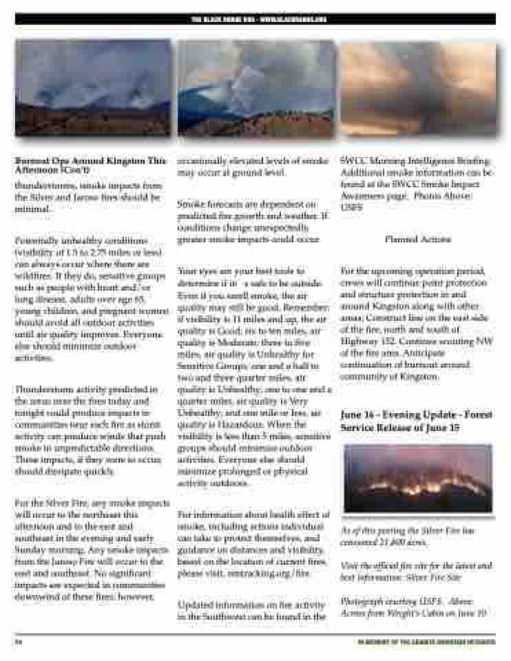
SWCC Morning Intelligence Briefing. Additional smoke information can be found at the SWCC Smoke Impact Awareness page. Photos Above: USFS
Planned Actions
For the upcoming operation period, crews will continue point protection and structure protection in and around Kingston along with other areas; Construct line on the east side of the fire, north and south of Highway 152. Continue scouting NW of the fire area. Anticipate continuation of burnout around community of Kingston.
June 16 - Evening Update - Forest Service Release of June 15
As of this posting the Silver Fire has consumed 21,800 acres.
Visit the official fire site for the latest and best information: Silver Fire Site
Photograph courtesy USFS. Above: Across from Wright’s Cabin on June 10
24
IN MEMORY OF THE GRANITE MOUNTAIN HOTSHOTS
