
Page 38 - The Silver Fire
P. 38
THE BLACK RANGE RAG - WWW.BLACKRANGE.ORG
Silver Fire Grows to 81,363 Acres - Hwy 152 Open to Kingston (Con’t)
Today’s Actions: Crews will be constructing fire line in the northwest portion of the fire and continue to conduct burnout operations on the west flank off of McKnight Road as weather conditions allow. Fire personnel will scout out for placement of indirect line on the east and west flank of the Silver Fire. The fire behavior analyst for the NM Incident Management Team said that firefighters can expect significant fire activity today as weather conditions will be hot, dry and unstable. As a result, tall smoke columns are likely to develop. The fuels in the fire area are critically dry and the potential for ignition in the afternoon is 100%.
There are currently no evacuations in effect. The fire is approximately 5 miles west of Hermosa and 19 miles southwest Winston. Firefighters are planning to do structure protection in Hermosa and Cooney.
Today’s weather: The weather will transition today from a persistent southwest flow to lighter westerly winds as an upper level high pressure system builds over the southwest. As the high approaches this afternoon the winds will decrease. Relative humidity will be between 6-10%.
Smoke: The most significant smoke impacts from the Silver Fire will be
areas to the east including Kingston, Hillsboro and possibly as far as Hermosa, Winston, Chloride, and Truth Or Consequences. Information on wildland fire smoke and your health can be found on the New Mexico Department of Health's website at https://nmtracking.org/ fire.
Closures: NM Highway 152 is closed from Kingston to San Lorenzo. For additional information go
to www.nmroads.com. Forest closure information can be found at http:// fs.usda.gov/gila
For additional fire information, visit the following
websites: www.facebook.com/ SilverFireNMwww.flickr.com/ gilaforest www.twitter.com/ SilverFireNM
June 26 - Smoke Conditions - Black Range Map Showing Burned Area
As of the last official report the Silver Fire has consumed 81,363 acres.
Visit the official fire site for the latest and best information: Silver Fire Site
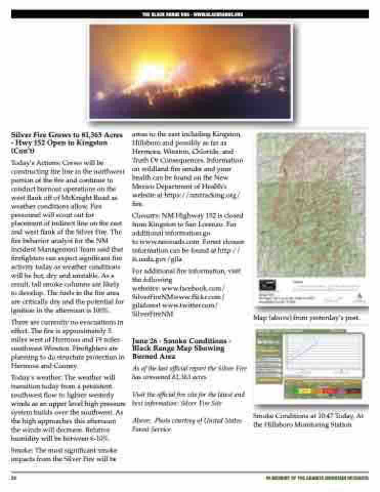
Above: Photo courtesy of United States Forest Service.
Map (above) from yesterday’s post.
38
iN MEMORY OF THE GRANITE MOUNTAIN HOTSHOTS
Smoke Conditions at 10:47 Today, At the Hillsboro Monitoring Station
