
Page 39 - The Silver Fire
P. 39
THE BLACK RANGE RAG - WWW.BLACKRANGE.ORG
Smoke Conditions - Black Range Map Showing Burned Area (Con’t)
The Black Range is basically the area in (dark) green on this map (except for the small green area in the lower left). The burned area is outlined in red.
June 26, 2013 - June 26 Update Published at 12:40 PM MST - Public Meetings Notice
As of the last official report the Silver Fire has consumed 85,920 acres.
Visit the official fire site for the latest and best information: Silver Fire Site
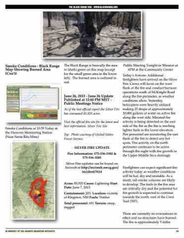
Top: Photo courtesy of United States Forest Service.
SILVER FIRE UPDATE
Fire Information: 575-536-3382 & 575-536-3285
Silver Fire updates can be found on Inciweb at http://inciweb.nwcg.gov/ incident/3414
Acres: 85,920 Cause: Lightning Start Date: June 7, 2013
Containment: 20% Location: vicinity of Kingston, NM Fuels: Timber
Total personnel: 691 Terrain: steep, rugged
Public Meeting Tonight in Winston at 6PM at the Community Center
Today’s Actions: Additional firefighters have arrived on the Silver Fire. Crews will focus on the west flank of the fire and conduct burnout operations south of McKnight Road along the fire perimeter, as weather conditions allow. Yesterday, helicopters were heavily utilized making 35 drops of approximately 30,000 gallons of water on active fire along the west side. Minimal fire activity is being detected on the east side of the fire as the fire is reaching lighter fuels in the lower elevation. Fire personnel are monitoring the east flank of the fire to detect any hot spots. Fire activity on the north perimeter continues to be active through the night with fire growth in the Upper Middle Seco drainage.
Firefighters can expect significant fire activity today as weather conditions will be hot, dry and unstable. As a result, tall smoke columns are likely to develop. The fuels in the fire area are critically dry and the potential for fire growth is expected to continue towards the north, east of the Crest Trail (307).
There are currently no evacuations in effect and no structures have burned. The fire is approximately 5 miles
Smoke Conditions at 10:39 Today at the Hanover Monitoring Station (Near Santa Rita Mine)
iN MEMORY OF THE GRANITE MOUNTAIN HOTSHOTS
39
