
Page 54 - The Silver Fire
P. 54
THE BLACK RANGE RAG - WWW.BLACKRANGE.ORG
Clean-Up Along NM-152 - End of the Fire May Be In Sight - (Con’t)
continue to monitor the west, east and south perimeter of the fire. Direct line will be constructed on the northwest corner of the fire in the Cooney Canyon area as conditions allow and can be done safely. Crews will also continue to prep Forest Road 150.
While things are winding down, crews continue to mop up and rehab suppression lines. Within the next few days, the demobilization of resources will begin. The BAER (Burned Area Emergency Response) Team will continue to assess the area.
Smoke: Information on wildland fire smoke and your health can be found on the New Mexico Department of Health's website at https:// nmtracking.org/fire.
Open Areas: Highway 152 is now completely open to the public including San Lorenzo to Kingston. Safety is still a concern; watch for livestock, wildlife, rocks, fallen trees and debris on the Highway. Silver City, Hillsboro, and Winston remain open. Businesses along New Mexico State Highways 15 and 35 remain open, all the way to the Gila Cliff
Dwellings. The majority of the Gila National Forest is open for recreational opportunities with Stage One fire restrictions in effect. For more information on restrictions, go to firerestrictions.us.
Closures: For more information about any fire closures go to http:// www.fs.usda.gov/gila. For information on road closures, go to www.nmroads.com.
For additional fire information, visit the following websites: www.facebook.com/SilverFireNM
www.flickr.com/gilaforest www.twitter.com/SilverFireNM
July 3, 2013 - July 3 Update
As of the last official report the Silver Fire has consumed 137,326 acres. 59% contained.
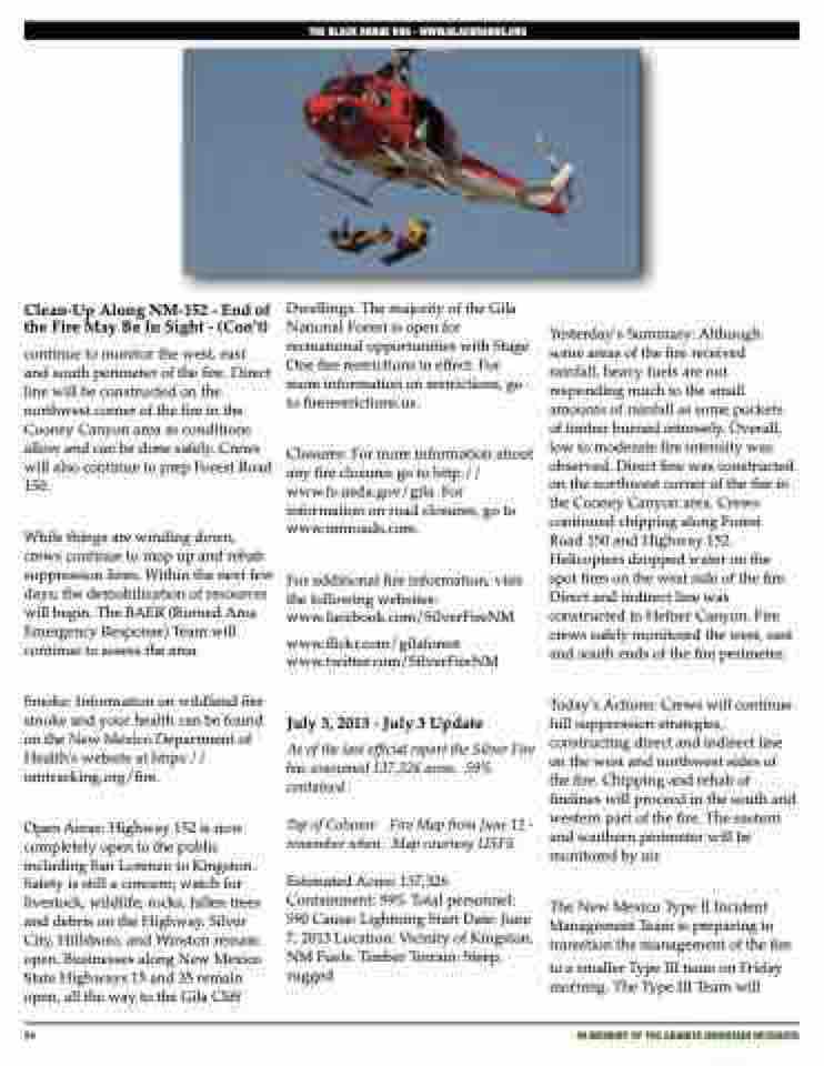
Yesterday’s Summary: Although some areas of the fire received rainfall, heavy fuels are not responding much to the small amounts of rainfall as some pockets of timber burned intensely. Overall, low to moderate fire intensity was observed. Direct line was constructed on the northwest corner of the fire in the Cooney Canyon area. Crews continued chipping along Forest Road 150 and Highway 152. Helicopters dropped water on the spot fires on the west side of the fire. Direct and indirect line was constructed in Hefner Canyon. Fire crews safely monitored the west, east and south ends of the fire perimeter.
Today’s Actions: Crews will continue full suppression strategies, constructing direct and indirect line on the west and northwest sides of the fire. Chipping and rehab of firelines will proceed in the south and western part of the fire. The eastern and southern perimeter will be monitored by air.
The New Mexico Type II Incident Management Team is preparing to transition the management of the fire
to a smaller Type III team on Friday morning. The Type III Team will
Top of Column:
remember when. Map courtesy USFS.
Fire Map from June 12 -
Estimated Acres: 137,326 Containment: 59% Total personnel: 590 Cause: Lightning Start Date: June 7, 2013 Location: Vicinity of Kingston, NM Fuels: Timber Terrain: Steep, rugged
54
iN MEMORY OF THE GRANITE MOUNTAIN HOTSHOTS
