
Page 61 - The Silver Fire
P. 61
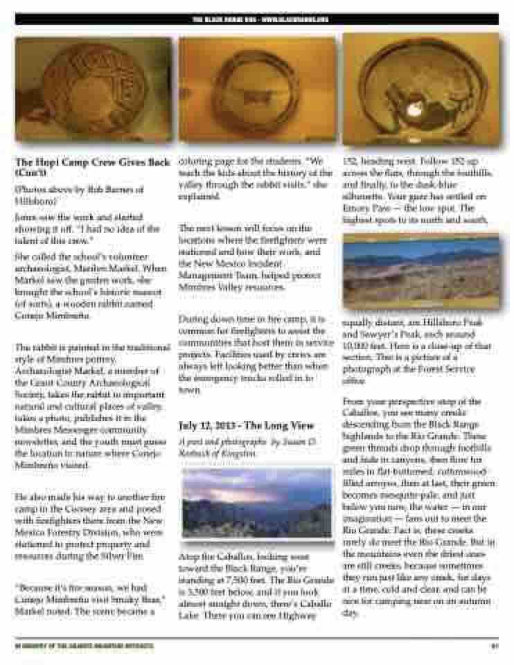
  The Hopi Camp Crew Gives Back (Con’t)
(Photos above by Bob Barnes of Hillsboro)
Jones saw the work and started showing it off. “I had no idea of the talent of this crew.”
She called the school’s volunteer archaeologist, Marilyn Markel. When Markel saw the garden work, she brought the school’s historic mascot (of sorts), a wooden rabbit named Conejo Mimbreño.
The rabbit is painted in the traditional style of Mimbres pottery. Archaeologist Markel, a member of the Grant County Archaeological Society, takes the rabbit to important natural and cultural places of valley, takes a photo, publishes it in the Mimbres Messenger community newsletter, and the youth must guess the location in nature where Conejo Mimbreño visited.
He also made his way to another fire camp in the Cooney area and posed with firefighters there from the New Mexico Forestry Division, who were stationed to protect property and resources during the Silver Fire.
“Because it’s fire season, we had Conejo Mimbreño visit Smoky Bear,” Markel noted. The scene became a
coloring page for the students. “We teach the kids about the history of the valley through the rabbit visits,” she explained.
The next lesson will focus on the locations where the firefighters were stationed and how their work, and the New Mexico Incident Management Team, helped protect Mimbres Valley resources.
During down time in fire camp, it is common for firefighters to assist the communities that host them in service projects. Facilities used by crews are always left looking better than when the emergency trucks rolled in to town.
July 12, 2013 - The Long View
A post and photographs by Susan D. Roebuck of Kingston.
Atop the Caballos, looking west toward the Black Range, you’re standing at 7,500 feet. The Rio Grande is 3,500 feet below, and if you look almost straight down, there’s Caballo Lake. There you can see Highway
152, heading west. Follow 152 up across the flats, through the foothills, and finally, to the dusk-blue silhouette. Your gaze has settled on Emory Pass — the low spot. The highest spots to its north and south,
equally distant, are Hillsboro Peak and Sawyer’s Peak, each around 10,000 feet. Here is a close-up of that section. This is a picture of a photograph at the Forest Service office.
From your perspective atop of the Caballos, you see many creeks descending from the Black Range highlands to the Rio Grande. These green threads drop through foothills and hide in canyons, then flow for miles in flat-bottomed, cottonwood- filled arroyos, then at last, their green becomes mesquite-pale, and just below you now, the water — in our imagination — fans out to meet the Rio Grande. Fact is, these creeks rarely do meet the Rio Grande. But in the mountains even the driest ones are still creeks, because sometimes they run just like any creek, for days at a time, cold and clear, and can be nice for camping near on an autumn day.
THE BLACK RANGE RAG - WWW.BLACKRANGE.ORG
       iN MEMORY OF THE GRANITE MOUNTAIN HOTSHOTS
61
