
Page 157 - CDR18
P. 157
20 HIKING
201
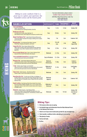
Hiking in scenic southern Utah is a great way to explore and experience the beautiful scenery off the beaten path.
NAME/LOCATION
DIFFICULTY
TIME
DISTANCE
(ROUND TRIP)
BEST SEASON
Coal Creek Walking
Cedar City Canyon Park
Paved walking trail, drinking fountains, benches
Easy
1+ hr
3.4 mi
Spring–Fall
Bristlecone Cone Trail
18-miles East of Cedar, along Highway 14
Dixie National Forest, trail through pines and spruce, excellent views.
Easy
30 min.
1 mi
Spring–Fall
Alpine Pond Nature Trail Cedar Breaks National Monument (Chessman Ridge Overlook) Picturesque walking trail to alpine grove and pond.
Easy
1 hr
2 mi
Summer–Fall
Weeping Rock Zion National Park (Main Canyon) Paved trail, hanging rock gardens, and more.
Easy
15 to 30 min.
.4 mi
Spring/ Open Yr Rd
Canyon Rim Trail Bryce Canyon National Park
Offers views of many of the same landmarks from diametric viewpoints. Access from Fairyland, Sunrise, Inspiration, and Bryce Pts.
Easy
2.5 hrs
4.7 mi
Spring–Fall
Queens Garden/Navajo Loop Bryce Canyon National Park Loop trail from Sunset Point down into canyon.
Moderate
2–3 hrs
3 mi
Spring–Fall
Lower and Middle Emerald Pools Zion National Park Loop trail past pools and several waterfalls.
Easy to Moderate
1.5–2 hrs
3.2 mi
Spring–Fall
Ramparts Trail Cedar Breaks National Monument
(Trailhead at Visitors Center) Trail along plateau, thru ancient pines ends with spectacular view into Cedar Breaks.
Moderate (Strenuous)
1/2 Day
4 mi
Summer– Early Fall
C-Trail 8-mileseastofCedar,via14toKolob
(Reservoir turnoff to trailhead) Trail along plateau, thru ancient pines ends with spectacular view into Cedar Breaks.
Moderate to Strenuous
4+ hrs
4.2 mi
Late Spring– Fall
Taylor Creek Kolob Canyons - Zion National Park Follows Taylor Creek to the Double Arch Alcove.
Moderate
3 hrs
5 mi
Spring–Fall
Virgin River Rim Trail 12-miles east of Cedar, via Highway 14
to Woods Ranch, Access from Deer Haven, Navajo Lake, Cascade Falls, Strawberry Pt. Beautiful views of Virgin River Rim and Zion National Park.
Moderate depends
32 mi
Summer–Fall
Angels Landing Zion National Park (from Grotto Picnic Area) Strenuous hike up Walters Wiggles, last .5 mi on steep narrow ridge with chains to hold. Ends at summit above Zion Canyon, Incredible views.
Moderate to Strenuous
5 hrs
5 mi
Spring–Fall
Kolob Arch Kolob Canyons - Zion National Park.
(Starts at La Verkin Creek Trailhead) The Kolob Arch is the world’s largest free-standing arch. Trail follows La Verkin Creek into Kolob wilderness.
Strenuous
12 hrs
14.4 mi
Spring–Fall
Avoid July and August
Hiking Tips:
1. Tellsomeonewhereyouaregoing.
2. GetdetailedmapsandinformationfromtheDixieNationalForest or the National Park Service.
3. Checktoseeifyouneedabackcountrypermitforanyovernighttrips. 4. Checkweatherconditionsbeforeembarkingonyourjourney.
5. Takeplentyofwater.
6. Packoutalltrash.
7. Nofires.
8
For more information, please contact:
Cedar City Leisure Services
2090 West Royal Hunte Drive, Cedar City www.cedarcity.org 435-865-9223
HIKING
