
Page 4 - social project
P. 4
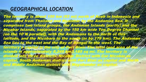
GEOGRAPHICAL LOCATION


     The territory is about 150 km (93 mi) north of Aceh in Indonesia and


     separated from Thailand and Myanmar by the Andaman Sea. It


     comprises two island groups, the Andaman Islands (partly) and the

     Nicobar Islands, separated by the 150 km wide Ten Degree Channel


     (on the 10°N parallel}, with the Andamans to the north of this

     latitude, and the Nicobars to the south (or by 179 km). The Andaman


     Sea lies to the east and the Bay of Bengal to the west. The


     territory's capital is the city of Port Blair. The total land area of the

     islands is approximately 8,249 km3,185 sq mi. The territory is


     divided into three districts: Nicobar District with Car Nicobar,as

     capital, South Andaman district with Port Blair as capital and North


     and Middle Andaman district with Mayabunder as capital.