Page 11 - AHATA
P. 11
A13
                                                                                                                           Saturday 11 January 2020


            Play Your Way to the Party


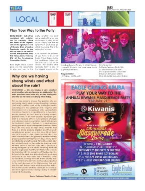
            EAGLE BEACH - Lots of fun  party,  whether  you  can't
            combined  with  admira-      get enough of the fun and
            tion  for  creativity.  Those  excitement  it  takes  to  win
            are  some  of  the  ingredi-  or  you  simply  love  the  en-
            ents of the signature event  tertainment  and  all  its  ex-
            of  Kiwanis  Club  of  Aruba.  citing  moments,  this  is  the
            Everybody  wants  to  see  promotion for you.
            and be seen at the Kiwanis
            Annual  Masquerade  Party  If you want to be a winner,
            that  takes  place  February  all  you  have  to  do  is  visit
            21st  at  the  Renaissance  Eagle Aruba Casino during
            Convention Center.           the  qualifying  dates  and
                                         opt  in  to  be  a  part  of  the
            Now  Eagle  Aruba  Casino  action.  The  Kiwanis  Mas-    island and a way for you to join some car-  Earning period
            gives  you  the  opportunity  querade  Party  is  one  of   nival spirit. Come in and have some fun at  Raffle on February 5th & 15th
            to  play  your  way  to  the  the  biggest  events  on  the   Eagle Aruba Casino.                    1st prize entrée to the KMP
                                                                                                                 2nd 2x $100 in Bonus Slot Dollars
               Why are we having                                      The promotion:                             3rd 3x $75 Bonus Slot Dollars
                                                                                                                 4th & 5th 5x $50 Bonus Slot Dollars
                                                                       10 Points = 1 raffle entry
               strong winds and what

               about the rain?


               ORANJESTAD  —  We  are  having  a  very  unsettled
               week weather-wise and people are asking why. The
               main questions have been why we are having rain
               and why do we have such strong winds today.

               First  we  are  going  to  answer  the  question  why  we
               are having strong winds. A very strong high pressure
               (1042  mb)  is  settled  north  of  the  Caribbean  and  is
               extending  over  the  Caribbean  itself.  Together  with
               the presence of a low-pressure area over northern
               Colombia, it leads to a big difference in the atmo-
               spheric  pressure,  so  then  there  is  a  strong  pressure
               gradient force. To be more specific, a pressure gra-
               dient is a measure of how much pressure changes
               over distance and on a weather map that is shown
               by the isobars. Isobars are lines on a weather map
               joining places of equal atmospheric pressure. When
               those  are  very  close  to  each  other,  it  means  that
               there  is  a  strong  pressure  gradient  and  thus  windy
               conditions are present over that area. When those
               are  far  from  each  other,  there  may  be  little  or  no
               wind over that area. We generally expect a strong
               pressure gradient during the next days, mostly today
               and Saturday and afterwards it should weaken a bit
               but not significantly, so the moderate to strong winds
               will likely persist in the next days. We could expect
               strong wind gusts up to 60 km/h. The strong winds will
               lead to rough seas. As of the rain that we have been
               having lately with the exception of Wednesday, the
               first part of the week was related with a slow-moving
               disturbance and the current rain is related to areas
               of  cloudiness  coming  from  the  North  Atlantic  that
               were remnants of cold fronts and have been pushed
               to the south because of the high pressure that cre-
               ates the well -known trade winds across the region.
               The shower activity will likely decrease on Saturday,
               and then again increase during Sunday till possibly
               remain till Wednesday.

                                   Source Caribbean Weather Center

