
Page 20 - Consequences of an Incorrect Seismic Survey
P. 20
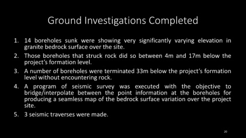
Ground Investigations Completed


            1. 14 boreholes sunk were showing very significantly varying elevation in


                    granite bedrock surface over the site.


            2. Those boreholes that struck rock did so between 4m and 17m below the

                    project’s formation level.


            3. A number of boreholes were terminated 33m below the project’s formation

                    level without encountering rock.


            4. A program of seismic survey was executed with the objective to

                    bridge/interpolate between the point information at the boreholes for

                    producing a seamless map of the bedrock surface variation over the project

                    site.


            5. 3 seismic traverses were made.


                                                                                                                                                                                20