
Page 101 - Green - Maritime Archaeology: A Technical Handbook. 2nd ed
P. 101
80 Maritime Archaeology: A Technical Handbook, Second Edition
c
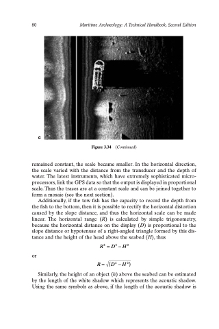
Figure 3.34 (Continued)
remained constant, the scale became smaller. In the horizontal direction, the scale varied with the distance from the transducer and the depth of water. The latest instruments, which have extremely sophisticated micro- processors, link the GPS data so that the output is displayed in proportional scale. Thus the traces are at a constant scale and can be joined together to form a mosaic (see the next section).
Additionally, if the tow fish has the capacity to record the depth from the fish to the bottom, then it is possible to rectify the horizontal distortion caused by the slope distance, and thus the horizontal scale can be made linear. The horizontal range (R) is calculated by simple trigonometry, because the horizontal distance on the display (D) is proportional to the slope distance or hypotenuse of a right-angled triangle formed by this dis- tance and the height of the head above the seabed (H), thus
or
R2 =D2 -H2 R= (D2-H2)
Similarly, the height of an object (h) above the seabed can be estimated by the length of the white shadow which represents the acoustic shadow. Using the same symbols as above, if the length of the acoustic shadow is
