
Page 1297 - Dive the Seas and More-2
P. 1297
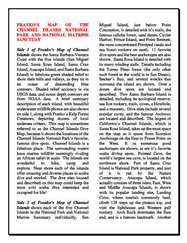
FRANKO’S            MAP        OF        THE          Miguel     Island,     just   below      Point
            CHANNEL ISLANDS NATIONAL                              Conception, is detailed with it’s trails, the
            PARK AND NATIONAL MATRINE                             famous caliche forest, sand dunes, Cuyler
            SANCTUAY                                              Harbor, Prince Island, and Point Bennett,
                                                                  the most concentrated Pinniped (seals and
            Side 1 of Franko’s Map of Channel                     sea  lions) rookery on  earth.   11 favorite
            Islands shows the Santa Barbara-Ventura               dive spots and the best anchorages are also
            Coast with the five islands (San Miguel               shown.  Santa Rosa Island is detailed with
            Island, Santa Rosa Island, Santa Cruz                 its many winding trails.  Details including
            Island, Anacapa Island, and Santa Barbara             the Torrey Pines forest (the only other
            Island) in fabulous green shaded relief to            such forest in the world is in San Diego),
            show their hills and valleys, as they sit in          Becher’s Bay,  and several wrecks  that
            an     ocean      of     descending       blue        surround the island  are  shown.   Over  a
            contours.   Shaded relief accuracy is via             dozen dive spots are located and
            USGS data, and ocean depth contours are               described.  Tiny Santa Barbara Island is
            from NOAA data.   A brief summary                     detailed, including its ecological reserve,
            description of each island, with beautiful            sea lion rookery, trails, coves, a blowhole,
            underwater wildlife photos are also shown             and a museum.  Dive sites include several
            on side 1, along with Franko’s Kelp Forest            popular caves, and the famous Archway
            Creatures, depicting dozens of local                  are located and described.  The largest of
            undersea critters.  This map is sometimes             California’s Channel Islands, which is
            referred  to  as  the  Channel  Islands  Dive         Santa Rosa Island, takes up the most space
            Map, because it shows the locations of the            on the map as it spans from Scorpion
            Channel Islands National Park’s favorite,             Anchorage on the East to Fraser Point on
            famous dive spots.  Channel Islands is a              the West.   It  >s numerous good
            fabulous place.   The surrounding waters              anchorages are shown, as are it’s favorite
            have marine wildlife seemingly rivaling               scuba diving spots.   Painted  Cave, the
            an African safari in scale.  The islands are          world’s largest sea cave, is located on the
            wonderful       to    hike,     camp       and        northwest shore.   Part of  Santa Cruz
            explore.   Near shore each of the islands             Island is National Park property, and part
            offer amazing and diverse places to scuba             of    it    is   run     by     the    Nature
            dive and snorkel.  The dive sites located             Conservancy.   Anacapa Island,  which
            and described on this map could keep the              actually consists of three islets, East, West
            most  avid  scuba  dive  interested  and              and Middle  Anacapa Islands, is shown
            occupied for life!                                    with its popular landing site, Landing
                                                                  Cove,  where tourists commonly land,
            Side 2 of Franko’s Map of Channel                     climb 138 steps up the plateau top, and
            Islands shows each  of the five Channel               visit the lighthouse and  Western gull
            Islands in the National Park and National             rookery.  Arch Rock dominates the East
            Marine  Sanctuary individually.   San                 end, and is a famous landmark.  Another