
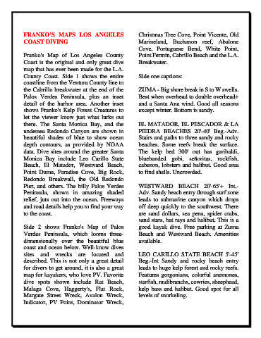
Page 1454 - Dive the Seas and More-2
P. 1454
FRANKO’S  MAPS LOS  ANGELES                           Christmas Tree Cove, Point Vicente, Old
            COAST DIVING                                          Marineland, Buchanon reef, Abalone
                                                                  Cove, Portuguese  Bend, White Point,
            Franko's  Map of  Los Angeles County                  Point Fermin, Cabrillo Beach and the L.A.
            Coast is the original and only great dive             Breakwater.
            map that has ever been made for the L.A.
            County  Coast.  Side 1 shows  the entire              Side one captions:
            coastline from the Ventura County line to
            the Cabrillo breakwater at the end of the             ZUMA - Big shore break in S to W swells.
            Palos Verdes Peninsula, plus an inset                 Best when overhead to double overhead+
            detail of the harbor area. Another inset              and a Santa Ana wind. Good all seasons
            shows Franko's Kelp Forest Creatures to               except winter. Bottom is sandy.
            let the viewer know just what lurks out
            there. The Santa Monica Bay, and the                  EL MATADOR, EL PESCADOR & LA
            undersea Redondo Canyon are shown in                  PIEDRA  BEACHES 20'-40' Beg.-Adv.
            beautiful shades of blue to show ocean                Stairs and paths to three sandy and rocky
            depth contours, as  provided by NOAA                  beaches.  Some reefs break the surface.
            data. Dive sites around the greater Santa             The kelp bed 300' out has garibaldi,
            Monica Bay include  Leo  Carillo State                bluebanded gobi, señoritas, rockfish,
            Beach,  El Matador, Westward Beach,                   cabezon, lobsters and halibut. Good area
            Point Dume, Paradise Cove, Big Rock,                  to find shells. Uncrowded.
            Redondo Breakwall, the  Old Redondo
            Pier, and others. The hilly Palos Verdes              WESTWARD BEACH 20'-65'+ Int.-
            Peninsula, shown in amazing shaded                    Adv. Sandy beach entry through surf zone
            relief, juts out into the ocean. Freeways             leads  to  submarine  canyon  which  drops
            and road details help you to find your way            off deep quickly to the southwest. There
            to the coast.                                         are sand  dollars, sea pens, spider crabs,
                                                                  sand stars, bat rays and halibut. This is a
            Side 2 shows Franko's Map of Palos                    good  kayak dive. Free parking at Zuma
            Verdes Peninsula, which looms three-                  Beach  and  Westward  Beach.  Amenities
            dimensionally over the beautiful blue                 available.
            coast and ocean below. Well-know dives
            sites  and  wrecks  are  located  and                 LEO  CARILLO  STATE  BEACH  5'-45'
            described. This is not only a great detail            Beg.-Int  Sandy and rocky beach entry
            for divers to get around, it is also a great          leads to huge kelp forest and rocky reefs.
            map for kayakers, who love PV. Favorite               Features gorgonians, colorful anemones,
            dive spots shown include Rat Beach,                   starfish, nudibranchs, cowries, sheephead,
            Malaga  Cove, Haggerty's,  Flat Rock,                 kelp bass and halibut. Good spot for all
            Margate  Street Wreck, Avalon Wreck,                  levels of snorkeling.
            Indicator, PV Point, Dominator Wreck,