
Page 1561 - Dive the Seas and More-2
P. 1561
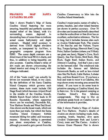
FRANKO’S               MAP           SANTA            Catalina  Conservancy to hike into the
            CATALINA ISLAND                                       Catalina Island hinterlands.

            Side 1 shows Franko’s Map of Santa                    Catalina’s major peaks, names of valley’s,
            Catalina  Island featuring the  most                  points, beaches, and other island features
            amazing, beautiful and perfectly accurate             are shown in perfect accuracy.  Over 70
            shaded  relief of  the  Island,  with it’s            dive sites are located and briefly described
            surrounding       waters      depicted      in        so that the scuba diver or free diver has an
            descending hues of ocean blues to indicate            excellent, authoritative reference.  The list
            actual ocean bathymetry and depth                     is long, but it includes famous sites such
            contours.  Shaded relief accuracy  is                 as Avalon Underwater Park, The wrecks
            derived from USGS digital elevation                   of the Sue-Jac  and the Valiant,  Toyon
            models, as interpreted by ArcView,  a                 Bay, Torqua Springs, Henrock Reef, Long
            geographic computer program from                      Point, Italian Gardens (where you’ll likely
            ESRI.   The ocean  depth contours are  a              see giant sea bass), Ripper’s Cove, Rock
            direct trace of the local NOAA charts, and            Quarry, Sea Fan Grotto, Bird Rock, Ship
            thus, in addition to being beautiful, are             Rock,  Eagle  Reef,  Indian  Rocks,  and
            also accurate.  Catalina Island’s miles of            Johnson’s Landing.  And that’s just a start
            dirt roads are shown  crisscrossing  the              on the leeward side!  The windward side
            island interior and along it’s coast, with            includes  the  famous and fabulous
            mileages indicated.                                   Farnsworth Banks, as well as less-visited
                                                                  sites like Pin Rock, Little Harbor, Lobster
            All of the “main roads”  can  actually be             Bay, and Iron-Bound Cove.  If you have a
            driven (or mountain biked, in my case).               boat and want to moor it at Catalina, this
            By the definition of the Santa Catalina               map shows every mooring area around the
            Island Company which governs such                     island.  If you want to do some boat-in
            matters, these main roads include Old                 primitive camping at Catalina Island, that
            Stage Road (which becomes Airport Road                is there too.  So is the general camping at
            in the middle of the Catalina Island),                Catalina      Island’s      five     fabulous
            Middle Ranch  Road (which  leads to El                campgrounds.    This  map  is  like  an
            Rancho  Escondido, where equestrian                   adventure guide book on Catalina for all
            shows can be watched), Escondido Rd.,                 of the information it provides.
            Tow Harbors Roads and West End Road.
            Also shown are the lesser roads, which are            Side 2 shows Franko’s Maps of Avalon
            more than just trails, but which the Santa            and  Two  Harbors.   Franko’s details  of
            Catalina     Island     Company        forbids        Avalon are shown including roads, trails,
            mountain biking for safety and insurance              camping, hotels, beaches,  dive spots
            reasons.   However, hiking is  permitted              (Avalon Underwater Park and Lover’s
            just  about  everywhere  at  Catalina,                Cove), tours and The Casino.  Avalon’s
            although you need to get a permit from the            famous Green Pleasure Pier is shown