
Page 64 - NYSAPLS-Conference-Journal_2021-FINAL2_Neat
P. 64
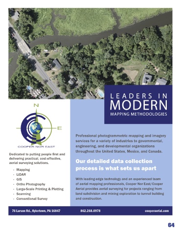
Professional photogrammetric mapping and imagery
                                                    services for a variety of industries to governmental,
                                                    engineering, and developmental organizations

                                                    throughout the United States, Mexico, and Canada.
       Dedicated to putting people first and
       delivering practical, cost-effective,        Our detailed data collection
       aerial surveying solutions.
                                                    process is what sets us apart
             - Mapping

             - LiDAR
             - GIS                                  With leading-edge technology and an experienced team
             - Ortho Photography                    of aerial mapping professionals, Cooper Nor East/Cooper
             - Large-Scale Printing & Plotting      Aerial provides aerial surveying for projects ranging from
             - Scanning                             land subdivision and mining exploration to tunnel building
             - Conventional Survey                  and construction.


         76 Larson Rd., Kylertown, PA 16847            862.268.0978                                cooperaerial.com


                                                                                                                   64