
Page 35 - Western Civilization A Brief History, Volume I To 1715 9th - Jackson J. Spielvogel
P. 35
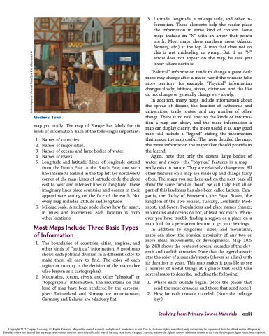
 Medieval Town
map you study. The map of Europe has labels for six kinds of information. Each of the following is important:
1. Names of countries.
2. Names of major cities.
3. Names of oceans and large bodies of water.
4. Names of rivers.
5. Longitude and latitude. Lines of longitude extend
from the North Pole to the South Pole; one such line intersects Iceland in the top left (or northwest) corner of the map. Lines of latitude circle the globe east to west and intersect lines of longitude. These imaginary lines place countries and oceans in their approximate setting on the face of the earth. Not every map includes latitude and longitude.
6. Mileage scale. A mileage scale shows how far apart, in miles and kilometers, each location is from other locations.
Most Maps Include Three Basic Types of Information
1. The boundaries of countries, cities, empires, and other kinds of ‘‘political’’ information. A good map shows each political division in a different color to make them all easy to find. The color of each region or country is the decision of the mapmaker (also known as a cartographer).
2. Mountains, oceans, rivers, and other ‘‘physical’’ or ‘‘topographic’’ information. The mountains on this kind of map have been rendered by the cartogra- pher: Switzerland and Norway are mountainous; Germany and Belarus are relatively flat.
3. Latitude, longitude, a mileage scale, and other in- formation. These elements help the reader place the information in some kind of context. Some maps include an ‘‘N’’ with an arrow that points north. Most maps show northern areas (Alaska, Norway, etc.) at the top. A map that does not do this is not misleading or wrong. But if an ‘‘N’’ arrow does not appear on the map, be sure you know where north is.
‘‘Political’’ information tends to change a great deal: maps may change after a major war if the winners take more territory, for example. ‘‘Physical’’ information changes slowly: latitude, rivers, distances, and the like do not change or generally change very slowly.
In addition, many maps include information about the spread of disease, the location of cathedrals and universities, trade routes, and any number of other things. There is no real limit to the kinds of informa- tion a map can show, and the more information a map can display clearly, the more useful it is. Any good map will include a ‘‘legend’’ stating the information that makes the map useful. The more detailed the map, the more information the mapmaker should provide in the legend.
Again, note that only the oceans, large bodies of water, and rivers—the ‘‘physical’’ features in a map— really exist in nature. They are relatively changeless. All other features on a map are made up and change fairly often. The maps you see here and on the next page all show the same familiar ‘‘boot’’ we call Italy. But all or part of this landmass has also been called Latium, Cam- pania, the duchy of Benevento, the Papal States, the kingdom of the Two Sicilies, Tuscany, Lombardy, Pied- mont, and Savoy. Populations and place names change; mountains and oceans do not, at least not much. When- ever you have trouble finding a region or a place on a map, look for a permanent feature to get your bearings.
In addition to kingdoms, cities, and mountains, maps can show the physical proximity of any two or more ideas, movements, or developments. Map 10.5 (p. 243) shows the routes of several crusades of the elev- enth and twelfth centuries. Note that the legend associ- ates the color of a crusade’s route (shown as a line) with its duration in years. This map makes it possible to see a number of useful things at a glance that could take several maps to describe, including the following:
1. Where each crusade began. (Note the places that send the most crusades and those that send none.) 2. How far each crusade traveled. (Note the mileage
key.)
Studying from Primary Source Materials xxxiii
Copyright 2017 Cengage Learning. All Rights Reserved. May not be copied, scanned, or duplicated, in whole or in part. Due to electronic rights, some third party content may be suppressed from the eBook and/or eChapter(s). Editorial review has deemed that any suppressed content does not materially affect the overall learning experience. Cengage Learning reserves the right to remove additional content at any time if subsequent rights restrictions require it.
Bibliothe`que de l’Arsenal, Paris//Snark/Art Resource, NY
