Page 364 - A Hand Book of Arabia Vol 2_Neat
P. 364
1S4 WESTERN ROUTES
miles.
total, stages.
I
locks and ridges covered with loose sand. Tim
ravine is said to contain a well of tolerably good
water and much herbage and brushwood.
i
Dir. E. over hilly ground.
3 m. (1 hr.) Enter narrow pass between two per
pendicular cliffs.
1 m. (.V hr.) Baqqdr,a, plain, is reached on emerg
ing from pass. Continue across the level
!
plain (5 hrs.) to Tebuk.
115 19 Tebuk, station on Hejaz Railway, with village and oasis ;
see Route No. 17, p. 12Sf.
I
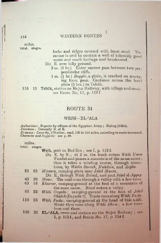
ROUTE 31
i
s I WE J H—E L- ‘ AL A
Authorities : Reports by officers of tho Egyptian Array ; Euting (1SS4).
Direction : Generally N. of E.
Distance : Crow-fiy, 119 miles ; road, 130 to 154 miles, according to route traversed.
n Character and Supplies: see p. 49.
miles.
i
i total, stages.
f: Wejh, port on Red Sea ; see I, p. 113 f.
:■
Dir. E. by N.; at 2 m. the track enters Wadi Umm
Tundub and passes a mountain of the same name ;
1 then it takes a winding course, through moun
tains, by Wadis Sanah, Nuhdein, and Argha.
•*:,
25 25 Missam, camping-place near Jebel Murra.
Dir. E., through Wadi Beirak, and past Jebel el-Aggag.
45 20 Maur. The road runs through a valley with a few trees.
: 63 IS Kluxrmr, camping-ground at the foot of a mountain of
l the same name. Road enters a valley.
S5 22 Wadi Gaya da ; camping-ground at the foot of Jebd
i
Ghidah (Gayada ?). Trade runs along Wadi J' ada.
110 25 Wadi Fazla; camping-ground at the head of this wadi.
Route then runs along Wadi Dheis ; a few trees
here and there.
130 20 EL-‘ALA, town and station on tho Hejaz Railway ; see
I, p. 115 f., and Route No. 17, p. 134 f.
, :

