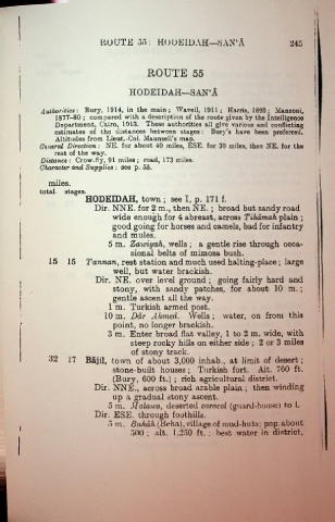
Page 484 - A Hand Book of Arabia Vol 2_Neat
P. 484
ROUTE 55: HO U ELD AH—'SAN1 A 245
ROUTE 55
HODEIDAH—SAN‘A
Authorities-. Bury, 1914, in the main; Wavell, 1911; Harris, 1892; Manzoni,
1877-80 ; compared with a description of the route given by the Intelligence
Department, Cairo, 1913. These authorities all give various and conflicting
estimates of the distances between stages: Bury’s have been preferred.
Altitudes from Lieut.-Col. Maunsell’s map.
General Direction: NE. for about 40 miles, ESE. for 30 miles, then NE. for the
rest of the way.
Distance : Crow-fly, 91 miles ; road, 173 miles.
Character and Supplies : see p. 55.
miles.
total- stages.
HODEIDAH, town ; see I, p. 171 f.
Dir. NNE. for 2 m., then NE. ; broad but sandy road
wide enough for 4 abreast, across Tiliamah plain ;
good going for horses and camels, bad for infantry
and mules.
5 m. Zaioiyah, wells ; a gentle rise through occa
sional belts of mimosa bush.
15 15 Tannan, rest station and much used halting-place; large
well, but water brackish.
Dir. NE. over level ground ; going fairly hard and
stony, with sandy patches, for about 10 m. ;
gentle ascent all the way.
1 m. Turkish armed post.
10m. Bar Ahmed. Wells; water, on from this
point, no longer brackish.
3 m. Enter broad flat valley, 1 to 2 m. wide, with
steep rocky hills on either side ; 2 or 3 miles
of stony track.
32 17 Bajil, town of about 3,000 inhab., at limit of desert ;
stone-built houses ; Turkish fort. Alt. 760 ft.
(Bury, 600 ft.) ; rich agricultural district.
Dir. NNE., across broad arable plain ; then winding
up a gradual stony ascent,
o m. Stalawa, deserted caracol (guard-house) to 1.
Dir. ESE. through foothills.
5 m. Buhah (Beha), village of mud-huts; pop.about
I
500 ; alt. 1,250 ft. : best water in district,
1

