Page 492 - A Hand Book of Arabia Vol 2_Neat
P. 492
'
X
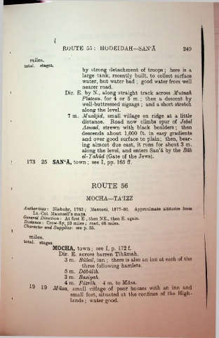
ROUTE 55 : HODEIDAH—SAN‘A 249
miles.
total, stages.
by strong detachment of troops ; here is a
large tank, recently built, to collect surface
water, but water bad ; good water from well
nearer road.
i Dir. E. by N., along straight track across Mutnah
Plateau, for 4 or 5 m.; then a descent by
well-buttressed zigzags ; and a short stretch
along the level.
7 m. Musajid, small village on ridge at a little
distance. Road now climbs spur of Jebel
Asivad, strewn with black boulders ; then
descends about 1,000 ft. in easy gradients
and over good surface to plain; then, bear
ing almost due east, it runs for about 3 m.
along the level, and enters San‘a by the Bab
el-Yahud (Gate of the Jews).
173 25 SAN‘A, town ; see I, pp. 165 ff.
ROUTE 56
i
MOCHA—TATZZ
Authorities: Niebuhr, 1763 ; Manzoni, 1877-80. Approximate altitudes from
Lt.-Col. Maunsell’s maps.
General Direction: At first E , then NE., then E. again.
■Distance : Crow-fly, 53 miles ; road, 66 miles.
Character and Supplies: see p. 55.
I
miles.
total. stages.
MOCHA, town ; see I, p. 172 f.
Dir. E. across barren Tihamah.
3 m. Buleil, inn ; there is also an inn at each of the
three following hamlets.
5 m. Dabullh.
3 m. Basiyah.
4 m. FCitrdh. 4 m. to Miisa.
19 19 Musa, small village of poor houses with an inn and
small fort, situated at the coniines of the High
lands ; water good.

