Page 584 - A Hand Book of Arabia Vol 2_Neat
P. 584
(
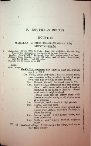
F. SOUTHERN ROUTES
ROUTE 67
MAKALLA (or SHIHEIR)—HAUTAH—SHIBAM—
SEYYTJN—TERDI
Authorities: Hirsch, 1893, to Terim ; Bent, 1893, to Shibam; Vail den Berg, ,j
from native information ; compared with the Aden Gazetteer.
Direction : Roughly NNW. to Haurah; then NNE., bearing almost E. to Terim.
Distance : From Makalla, crow-fly, 109 miles; road, 203 miles. From Shiheir,
crow-fly, 98 miles; road, 211 miles.
Character and Supplies : see p. 59 f.
miles.
total, stages. I
MAKALLA, principal port between Aden and Muscat;
see I, p. 232 f.
: Dir. NNE., across arid waste ; but, just outside town,
l road traverses valley, in which, by help of irriga
tion, coco-nut trees and bananas flourish.
\
l 2 m. Mainah (Moinah); here road bears to NE.
4 m. Baqrein, small settlement and first halting-
place ; wells, some palms, and a bungalow
belonging to the Sultan of Makalla; several
small forts in neighbourhood.
Road leads through narrow stony wadi
(barren except for scanty shrub), which widens
as it proceeds.
2 m. Harshiyat; track ascends to high ground.
2 m. Hadbah, camping-place.
Road now runs across stony upland and
crosses Wadi Raham, where it is too steep in
places for riding.
3 m. Basrah, hamlet; a few houses, water, and
some cultivation.
3 m. Tukhum, sandy place ; brackish stagnant
water
22 22 Rashnid, village. A little short of the village, road comes
in r. from Shiheir.

