Page 592 - A Hand Book of Arabia Vol 2_Neat
P. 592
(
ROUTE 67 : MAKALLA—TERlM 299
miles.
total, stages.
road now runs for about 2 miles along a very
sandy track to Hajarein.
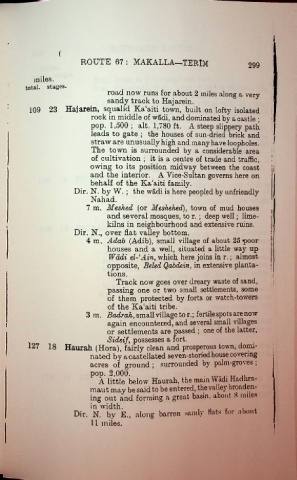
109 23 Hajarein, squalid Ka:aiti town, built on lofty isolated
rock in middle of wadi, and dominated by a castle ;
pop. 1,500; alt. 1,780 ft. A steep slippery path
leads to gate ; the houses of sun-dried brick and
I
straw are unusually high and many have loopholes. '
The town is surrounded by a considerable area
of cultivation ; it is a centre of trade and traffic,
owing to its position midway between the coast
and the interior. A Vice-Sultan governs here on
behalf of the Ka'aiti family.
Dir. N. by W. ; the wadi is here peopled by unfriendly
Nahad.
7 m. Meshed (or Meshehed), town of mud houses j
and several mosques, to r.; deep well; lime- \
kilns in neighbourhood and extensive ruins.
Dir. N., over flat valley bottom.
4 m. Adab (Adib), small village of about 25 ^poor
houses and a well, situated a little way up
Wadi el-1 Ain, which here joins in r.; almost
opposite, Beled Qabdein, in extensive planta
tions.
Track now goes over dreary waste of sand, i
passing one or two small settlements, some
of them protected by forts or watch-towers
of the Ka!aiti tribe.
3 m. Badrah, small village to r.; fertile spots are now
again encountered, and several small villages
or settlements are passed ; one of the latter,
Sideif, possesses a fort.
127 18 Haurah (Hora), fairly clean and prosperous town, domi
nated by a castellated seven-storied house covering
acres of ground ; surrounded by palm-groves ;
pop. 2,000. .
A little below Haurah, the mam Wadi Hadhra-
maut may be said to be entered, the vallej broaden
ing out and forming a great basin, about 8 miles
in width. .
Dir. N. bv E., along barren sandy Hats for about
11 miles.
}

