Page 598 - A Hand Book of Arabia Vol 2_Neat
P. 598
f
302 SOUTHERN ROUTEo
ROUTE 68
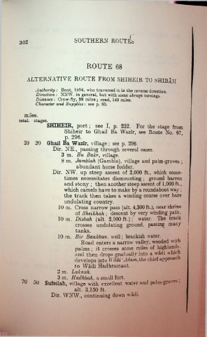
ALTERNATIVE ROUTE FROM SHIHEIR TO SHIBAM
Authority : Bent, 1894, who traversed it in the reverse direction.
Direction : NNW. in general, but with some abrupt turnings.
Distance : Crow-fly, 99 miles ; road, 149 miles.
Character and Supplies : see p. 60.
miles.
total, stages.
SHIHEIR, port; see I, p. 232. For the stage from
Shiheir to Ghail Ba Wazir, see Route No 67
p. 296.
20 20 Ghail Ba Wazir, village; see p. 296.
Dir. NE., passing through several oases.
3 m. Bu Bakr, village.
8 m. Jamblah (Gambia), village and palm-groves ;
abundant horse fodder.
Dir. NW. up steep ascent of 2,000 ft., which some
times necessitates dismounting ; ground barren
and stony ; then another steep ascent of 1,000 ft.,
which camels have to make by a roundabout way;
the track then takes a winding course over bare
undulating country.
10 m. Cross narrow pass (alt. 4,300 ft.), near shrine
of Sheikhah ; descent by very winding path.
10 m. Disbah (alt. 2,900 ft.); water. The track
crosses undulating ground, passing many
tanks.
10 m. Bir Baukban. well; brackish water.
Road enters a narrow valley, wooded with
palms; it crosses some miles of highlands,
and then drops gradually into a wadi which
develops into Wtldi ‘Adam, the chief approach
to Wadi Hadhramaut.
2 m. Laknah.
3 m. Hadhbah, a small fort. _ .
'0 50 Sufeilah, village with excellent water and palm-gro'Cs:
alt, 3,150 ft,
Dir. WNW., continuing down wadi.

