Page 26 - PowerPoint Presentation
P. 26

Applications - Sector wise                                                                                             26


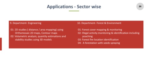
              9. Department- Engineering                                                             10. Department- Forest & Environment


               01: 2D studies ( distance / area mapping) using                                        01: Forest cover mapping & monitoring

                    Orthomosaic 2D maps, Contour maps                                                 02: Illegal activity monitoring & identification including
               02: Volumetric analysis, quantity estimations and                                            poaching

                    stability studies using 3D models                                                 03: Forest fire location identification

                                                                                                      04:  A forestation with seeds spraying
   21   22   23   24   25   26   27   28   29   30   31