
Page 77 - Walks In The Black Range
P. 77
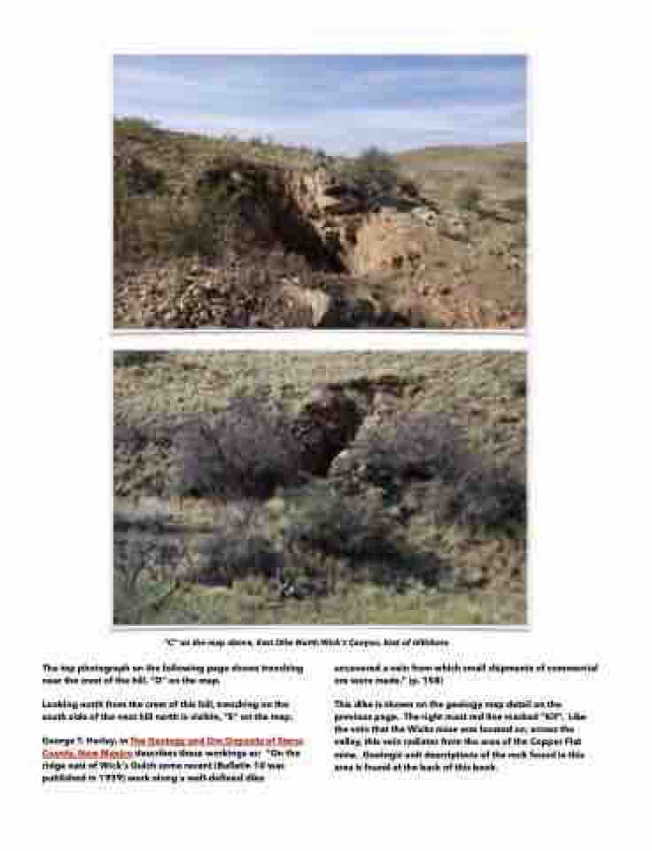
   “C” on the map above, East Dike North Wick's Canyon, East of Hillsboro
The top photograph on the following page shows trenching near the crest of the hill, “D” on the map.
Looking north from the crest of this hill, trenching on the south side of the next hill north is visible, “E” on the map.
George T. Harley, in The Geology and Ore Deposits of Sierra County, New Mexico describes these workings as: “On the ridge east of Wick's Gulch some recent (Bulletin 10 was published in 1939) work along a well-defined dike
uncovered a vein from which small shipments of commercial ore were made.” (p. 158)
This dike is shown on the geology map detail on the previous page. The right most red line marked “Kif”. Like the vein that the Wicks mine was located on, across the valley, this vein radiates from the area of the Copper Flat mine. Geologic unit descriptions of the rock found in this area is found at the back of this book.
