
Page 63 - Volume 3 - Walks In The Black Range
P. 63
Kingston was a major mining center during the last two decades of the 1800’s so there are mines along the creek, usually a bit higher on the canyon slopes and often adits rather than shafts. As elsewhere in the Black Range, these mines are often flooded and some of them are used to furnish garden water for Kingston.
Although mostly washed away, there is interesting local history, from the mining days to present, to be imagined along the creek. The marker (engraving) on the witness tree shown above is mostly grown over but was a key point in the claiming of land in the creek. It is located between the start of this trail and Kingston.
The witness tree is near the site of the old ice house in Kingston (photo above). No evidence remains of the structure or operation, but take a moment and imagine what this ice harvesting operation was like in its heyday. The May 2018 issue of Guajolotes, Zopilotes y Paisanos included an article entitled “Put It On Ice”. To quote the article; “Kingston had sawdust, Kingston had ice. Ice houses were fairly common structures prior to refrigeration. Not the type of ice house pictured” . . . above ...”but the kind used to store ice. They were usually thick walled, often sunk into the ground, and generally located in shaded areas. Block ice stored with sawdust in these conditions could last from the last freeze of the year to the first freeze of the next. Not
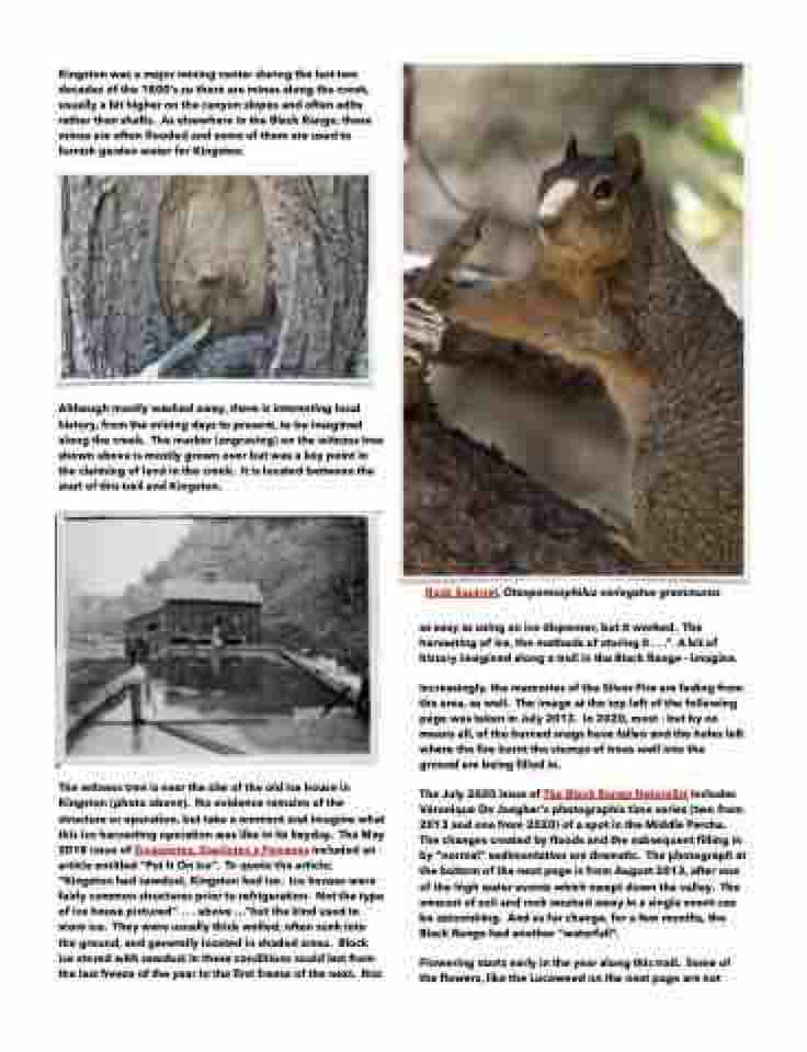
Rock Squirrel, Otospermophilus variegatus grammurus
as easy as using an ice dispenser, but it worked. The harvesting of ice, the methods of storing it . . .” A bit of history imagined along a trail in the Black Range - imagine.
Increasingly, the memories of the Silver Fire are fading from the area, as well. The image at the top left of the following page was taken in July 2013. In 2020, most - but by no means all, of the burned snags have fallen and the holes left where the fire burnt the stumps of trees well into the ground are being filled in.
The July 2020 issue of The Black Range Naturalist includes Véronique De Jaegher’s photographic time series (two from 2013 and one from 2020) of a spot in the Middle Percha. The changes created by floods and the subsequent filling in by “normal” sedimentation are dramatic. The photograph at the bottom of the next page is from August 2013, after one of the high water events which swept down the valley. The amount of soil and rock washed away in a single event can be astonishing. And as for change, for a few months, the Black Range had another “waterfall”.
Flowering starts early in the year along this trail. Some of the flowers, like the Locoweed on the next page are not
