
Page 76 - Volume 3 - Walks In The Black Range
P. 76
Overflow from the pond runs into the adjacent wash, there is a small amount of surface water in the wash because of this (photo right).
21. Carbonate Creek
To reach the trailhead for this walk, turn off of NM-152 at MP 41.5, onto North Percha Road (a.k.a. FR-157) and follow that road until you reach the trailhead. The walk starts at the turn out or a short distance up the road which follows the stream on its south side (road may/may not be passable). On July 27, 2015 we were able to drive a short distance up the road to an unimproved campsite. From there to the cabin the walk was 1.69 miles (3.4 round-trip).
The elevation gain is moderate, from about 6,570’ to about 6,990’, and steady (see elevation graph above). As indicated on the map at the top of the next page, the walk follows the course of the stream. Much of the trail has been washed away in floods. Most of the remaining portions of the trail are on the south side of the stream. Route finding is easy, simply follow the stream uphill, trail finding can be difficult because it is seriously overgrown and washed out.
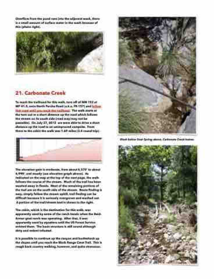
A portion of the trail/stream bed is shown to the right.
The cabin, which is the destination for this walk, was apparently used by some of the ranch hands when the Reid- Armer goat ranch was operating. After that, it was apparently used by squatters until the US Forest Service evicted them. The basic structure is still sound although dirty and rodent infested.
It is possible to continue up the canyon and bushwhack up the slopes until you reach the Black Range Crest Trail. This is rough back country walking, however, and quite strenuous.
Wash below Goat Spring above, Carbonate Creek below.
