
Page 122 - Vol. 1 Walks In The Black Range - 2nd Edition
P. 122
18. El Oro Mine & Andrews
The abandoned mining town of Andrews has some of the most intact “early buildings” in the area. Here we provide a treatment to the site, not a description of the walks which are possible - and there are many.
Northeast of the Copper Flat Copper Mine, which is itself northeast of Hillsboro, is the old mining town of Andrews. The El Oro, or Golden Rule, mine workings were the major mine in town and were in the center of town.
biotite. Contains 2-5% lithic fragments and trace to 3% disseminated magnetite. Non-vesicular and moderately foliated.”
I have long believed that of the sites in our area, Andrews is the most worthy of maintaining. Not only are there several buildings at the site, but there are significant mine workings. The mine workings are diverse and apparent, something quite rare in our area, and could “easily” be translated into the mining history of the Hillsboro Mining District.
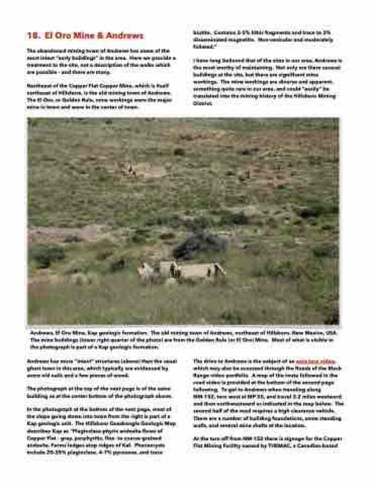
Andrews, El Oro Mine, Kap geologic formation. The old mining town of Andrews, northeast of Hillsboro, New Mexico, USA. The mine buildings (lower right quarter of the photo) are from the Golden Rule (or El Oro) Mine. Most of what is visible in the photograph is part of a Kap geologic formation.
Andrews has more “intact” structures (above) than the usual ghost town in this area, which typically are evidenced by some old nails and a few pieces of wood.
The photograph at the top of the next page is of the same building as at the center bottom of the photograph above.
In the photograph at the bottom of the next page, most of the slope going down into town from the right is part of a Kap geologic unit. The Hillsboro Quadrangle Geologic Map describes Kap as “Plagioclase-phyric andesite flows of Copper Flat – gray, porphyritic, fine- to coarse-grained andesite. Forms ledges atop ridges of Kaf. Phenocrysts include 20-25% plagioclase, 4-7% pyroxene, and trace
The drive to Andrews is the subject of an auto tour video, which may also be accessed through the Roads of the Black Range video portfolio. A map of the route followed in the road video is provided at the bottom of the second page following. To get to Andrews when traveling along NM-152, turn west at MP 55, and travel 3.2 miles westward and then northwestward as indicated in the map below. The second half of the road requires a high clearance vehicle. There are a number of building foundations, some standing walls, and several mine shafts at the location.
At the turn off from NM-152 there is signage for the Copper Flat Mining Facility owned by THEMAC, a Canadian-based
