
Page 9 - Vol. 1 Walks In The Black Range - 2nd Edition
P. 9
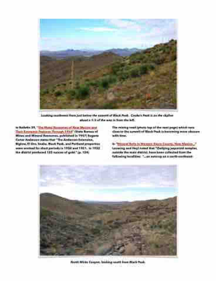
  Looking southwest from just below the summit of Black Peak. Cooke’s Peak is on the skyline about a 1/3 of the way in from the left.
In Bulletin 39, “The Metal Resources of New Mexico and Their Economic Features Through 1954” (State Bureau of Mines and Mineral Resources, published in 1957) Eugene Carter Anderson states that “The Anderson Extension, Biglow, El Oro, Snake, Black Peak, and Portland properties were worked for short periods in 1950 and 1951. In 1952 the district produced 125 ounces of gold.” (p. 124)
The mining road (photo top of the next page) which runs close to the summit of Black Peak is becoming more obscure with time.


In “Mineral Belts in Western Sierra County, New Mexico...” Lovering and Heyl noted that “Outlying jasperoid samples, outside the main district, have been collected from the following localities: “...an outcrop on a north-northeast-
    North Wicks Canyon, looking south from Black Peak.
