
Page 19 - Black Range Naturalist Vol. 4 No. 1
P. 19
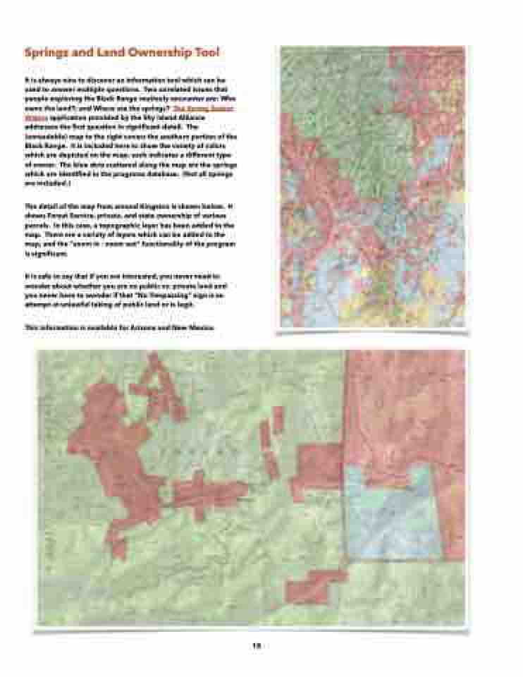
  Springs and Land Ownership Tool


It is always nice to discover an information tool which can be used to answer multiple questions. Two unrelated issues that people exploring the Black Range routinely encounter are: Who owns the land?; and Where are the springs? The Spring Seeker Waters application provided by the Sky Island Alliance addresses the first question in significant detail. The (unreadable) map to the right covers the southern portion of the Black Range. It is included here to show the variety of colors which are depicted on the map; each indicates a different type of owner. The blue dots scattered along the map are the springs which are identified in the programs database. (Not all springs are included.)
The detail of the map from around Kingston is shown below. It shows Forest Service, private, and state ownership of various parcels. In this case, a topographic layer has been added to the map. There are a variety of layers which can be added to the map, and the “zoom in - zoom out” functionality of the program is significant.
It is safe to say that if you are interested, you never need to wonder about whether you are on public vs. private land and you never have to wonder if that “No Trespassing” sign is an attempt at unlawful taking of public land or is legit.
This information is available for Arizona and New Mexico.
   18
