
Page 20 - Black Range Naturalist Vol. 4 No. 1
P. 20
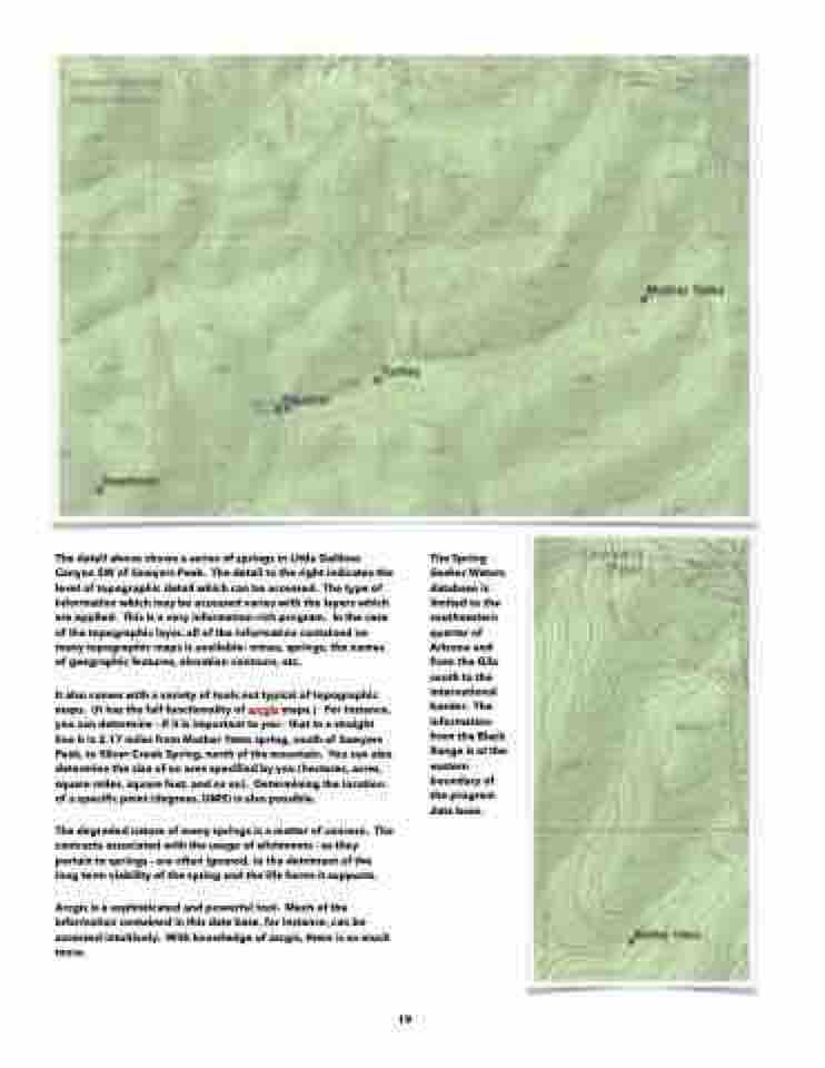
   The detail above shows a series of springs in Little Gallinas Canyon SW of Sawyers Peak. The detail to the right indicates the level of topographic detail which can be accessed. The type of information which may be accessed varies with the layers which are applied. This is a very information-rich program. In the case of the topographic layer, all of the information contained on many topographic maps is available: mines, springs, the names of geographic features, elevation contours, etc.
It also comes with a variety of tools not typical of topographic maps. (It has the full functionality of arcgis maps.) For instance, you can determine - if it is important to you - that in a straight line it is 2.17 miles from Mother Yates spring, south of Sawyers Peak, to Silver Creek Spring, north of the mountain. You can also determine the size of an area specified by you (hectares, acres, square miles, square feet, and so on). Determining the location of a specific point (degrees, DMS) is also possible.
The degraded nature of many springs is a matter of concern. The contracts associated with the usage of allotments - as they pertain to springs - are often ignored, to the detriment of the long term viability of the spring and the life forms it supports.
Arcgis is a sophisticated and powerful tool. Much of the information contained in this data base, for instance, can be accessed intuitively. With knowledge of arcgis, there is so much more.
The Spring Seeker Waters database is limited to the southeastern quarter of Arizona and from the Gila south to the international border. The information from the Black Range is at the eastern boundary of the program data base.
 19
