
Page 95 - Walks In The Black Range, Vol. 4
P. 95
which was the stage route and then turns north (at the approximate location of Cooke’s camp) up Frying Pan Canyon. On our visit of May 21, 2018 we found the spring dry.
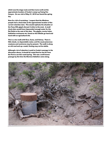
Now for a bit of surmising: I suspect that the Mimbres people had a check dam at the approximate location of the current retention dam. This would replicate the situation at the Pony Hills glyph site just 5 miles to the west. A small check dam would have impounded enough water for the flat fields to the east of the dam. The glyphs, mortar holes, habitation enclosures etc. found on the hillside go hand and hand with an agricultural site.
This is a nice walk with flora, fauna, and history. There is little shade, no dependable water, and the usual poisonous creatures and carnivores may be present. The walk is along an old road and up a wash; footing may not be stable.
Although a lot of attention is paid to Cooke’s passage in the discussion above, it should be noted that he was far from the first to use this route/spring. This was a well known passage by the time the Mormon Battalion came along.
